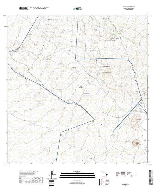
2024 Map of Keamuku
USGS Topo · Published 2024About this map
The high-elevation saddle between massive volcanic peaks defines this landscape on the Island of Hawai'i. Central to the region is the Pohakuloa Training Area, which spans a significant portion of the terrain north of the Ke'āmuku Lava Flow. The settlement of Waiki'i serves as a primary point of reference in this upland environment, where the infrastructure of the Hawaii Belt Rd and Saddle Rd facilitates transit across the island's interior. Numerous cinder cones, or pu'u, punctuate the landscape, including Pu'ukoghekili, Pu'uke'eke'e, and Pu'ukapele. Dry drainage features like Waikii Gulch and Popoo Gulch carve through the volcanic soils, while a network of paths such as the Palekaiko Trl and Pakeila Trl suggest a long history of travel through these high pastures and lava fields.
Find a feature on this map
28 named features on this map. Tap any name to fly to it.
Don’t see what you’re looking for? This feature index may not catch every label — zoom into the map to look around manually.
Map Details
Editions of this 2024 Keamuku Map
This is the sole edition of this map. No revisions or reprints were ever made.
Other maps of this area

1927 · Kaohe
USGS Topo · 1:62,500

1928 · Puako
USGS Topo · 1:62,500

1928 · Kailua
USGS Topo · 1:62,500

1930 · Kaohe
USGS Topo · 1:62,500

1954 · Hawaii North
USGS Topo · 1:250,000

1956 · Puu Koli
USGS Topo · 1:24,000

1956 · Puu Hinai
USGS Topo · 1:24,000

1956 · Keamuku
USGS Topo · 1:24,000

1956 · Nohonaohae
USGS Topo · 1:24,000

1956 · Makahalau
USGS Topo · 1:24,000