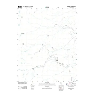
2012 Map of Kearsarge Peak
USGS Topo · Published 2012About this map
Onion Valley serves as a central point of entry into the high Sierra wilderness, marked by the Onion Valley Trailhead and Onion Valley Campground at the terminus of Onion Valley Rd. This 2012 survey illustrates the transition from the valley floor to the high peaks of the Inyo National Forest, featuring notable summits such as Mount Baxter, Mount Mary Austin, and the prominent Kearsarge Peak.
Find a feature on this map
44 named features on this map. Tap any name to fly to it.
Don’t see what you’re looking for? This feature index may not catch every label — zoom into the map to look around manually.
Map Details
Editions of this 2012 Kearsarge Peak Map
This is the sole edition of this map. No revisions or reprints were ever made.
Other maps of this area
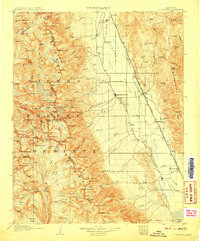
1907 · Mt. Whitney
USGS Topo · 1:125,000
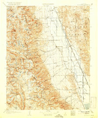
1919 · Mt. Whitney
USGS Topo · 1:125,000
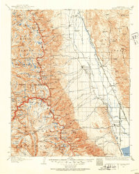
1937 · Mt. Whitney
USGS Topo · 1:125,000
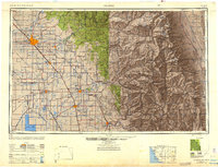
1948 · Fresno
USGS Topo · 1:250,000
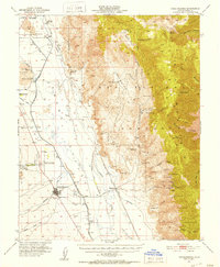
1951 · Independence
USGS Topo · 1:62,500
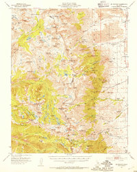
1953 · Mt. Pinchot
USGS Topo · 1:62,500
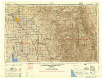
1955 · Fresno
USGS Topo · 1:250,000
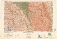
1956 · Fresno
USGS Topo · 1:250,000
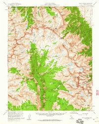
1956 · Mount Whitney
USGS Topo · 1:62,500
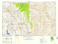
1958 · Fresno
USGS Topo · 1:250,000