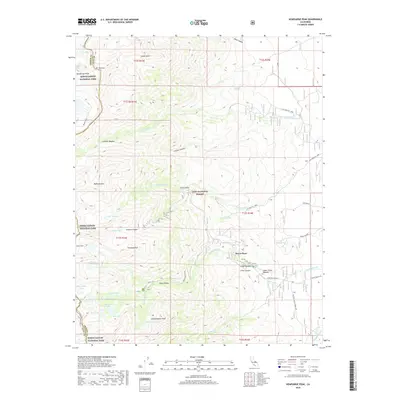
2018 Map of Kearsarge Peak
USGS Topo · Published 2018About this map
Onion Valley serves as a gateway to the high Sierra Nevada at the terminus of Onion Valley Road, marking a transition from the Owens Valley foothills into the high peaks. The topography is defined by massive granite features such as Kearsarge Peak and Independence Peak, which overlook a network of alpine basins containing Gilbert Lake, Flower Lake, and Heart Lake. The eastern slopes within the Inyo National Forest include the small settlement of Seven Pines and several meadows, including Grays Meadow and Lower Grays Meadow, established along the course of Independence Cr. To the west, the map crosses the crest into Kings Canyon National Park, where the high-altitude landscape is characterized by Sardine Canyon and the notable Baxter Pass, historically vital for pack travel over the serrated ridge.
Find a feature on this map
51 named features on this map. Tap any name to fly to it.
Don’t see what you’re looking for? This feature index may not catch every label — zoom into the map to look around manually.
Map Details
Editions of this 2018 Kearsarge Peak Map
This is the sole edition of this map. No revisions or reprints were ever made.
Other maps of this area

1907 · Mt. Whitney
USGS Topo · 1:125,000

1919 · Mt. Whitney
USGS Topo · 1:125,000

1937 · Mt. Whitney
USGS Topo · 1:125,000

1948 · Fresno
USGS Topo · 1:250,000

1951 · Independence
USGS Topo · 1:62,500

1953 · Mt. Pinchot
USGS Topo · 1:62,500

1955 · Fresno
USGS Topo · 1:250,000

1956 · Fresno
USGS Topo · 1:250,000

1956 · Mount Whitney
USGS Topo · 1:62,500

1958 · Fresno
USGS Topo · 1:250,000