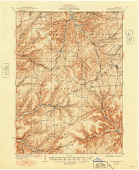
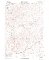
1948 Map of Keating Summit
USGS Topo · Published 1972About this map
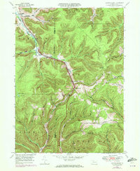
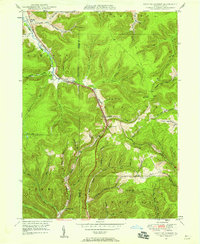
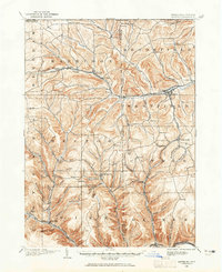
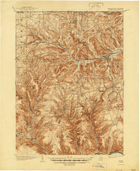
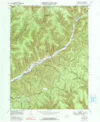
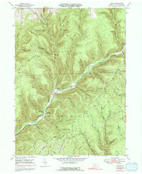
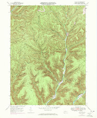
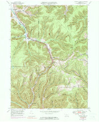
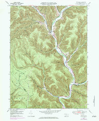
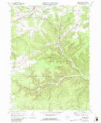
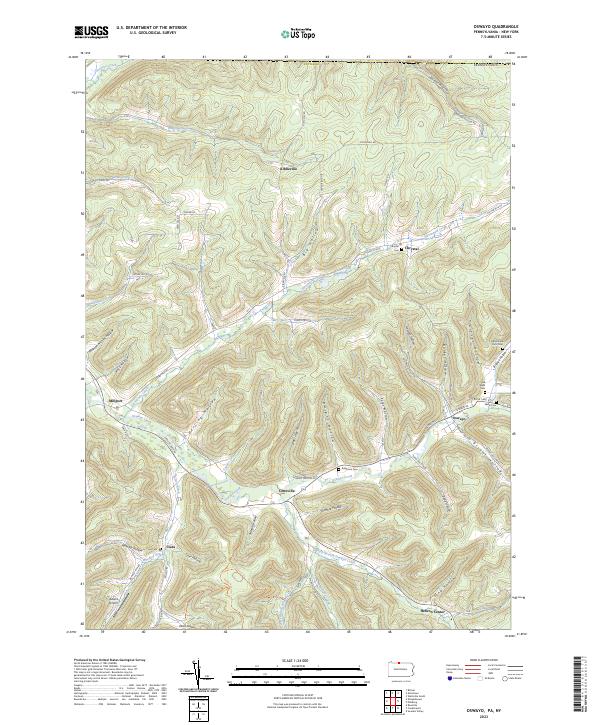
The drainage divide of the Allegheny Plateau is clearly defined in this mid-century study of the high country between McKean and Potter Counties. Keating Summit serves as the focal point, where the Penn Central railroad tracks navigate the steep transition between the Allegheny River valley to the north and the headwaters of Sinnemahoning Creek to the south. Small settlements like Liberty, Wrights, and Hamilton are pockets of development in a landscape dominated by deeply incised hollows and high ridges. Significant landmarks such as the fire tower on Fox Mountain and the lookout on Lookout Mountain indicate the vast timbered stretches and the importance of fire observation during this era. The map also traces industrial infrastructure like the Pipeline crossing the northern ridges, while the natural character of the land remains evident in features like the Beaver Ponds near the western boundary.
Find a feature on this map
59 named features on this map. Tap any name to fly to it.
Don’t see what you’re looking for? This feature index may not catch every label — zoom into the map to look around manually.
Map Details
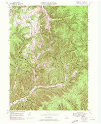
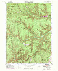
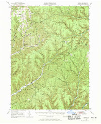
Editions of this 1948 Keating Summit Map
3 editions found
Historical Maps of Liberty Township Through Time
45 maps found
1899 Gaines
Potter County, PA
1900 Gaines
Potter County, PA

1932 Genesee
Potter County, PA
1937 Genesee
Potter County, PA
1947 Ayers Hill
Potter County, PA
1947 Cherry Springs
Potter County, PA
1947 Conrad
Potter County, PA
1947 Conrad
Potter County, PA
1947 Oleona
Potter County, PA
1947 Short Run
Potter County, PA
1948 Keating Summit
Potter County, PA
1948 Wharton
Potter County, PA
1949 Ayers Hill
Potter County, PA

1949 Cherry Springs
Potter County, PA

1949 Short Run
Potter County, PA

1950 Conrad
Potter County, PA
1950 Keating Summit
Potter County, PA

1950 Oleona
Potter County, PA

1950 Wharton
Potter County, PA
1957 Harrison Valley
Potter County, PA
1969 Brookland
Potter County, PA
1969 Ellisburg
Potter County, PA
1969 Oswayo
Potter County, PA
1969 Roulette
Potter County, PA
1969 Ulysses
Potter County, PA
1969 West Pike
Potter County, PA

1971 Short Run
Potter County, PA

1994 Cherry Springs
Potter County, PA

1994 Conrad
Potter County, PA

1994 Wharton
Potter County, PA

1995 Oleona
Potter County, PA

2023 Ayers Hill
Potter County, PA

2023 Brookland
Potter County, PA

2023 Cherry Springs
Potter County, PA

2023 Conrad
Potter County, PA

2023 Ellisburg
Potter County, PA

2023 Harrison Valley
Potter County, PA
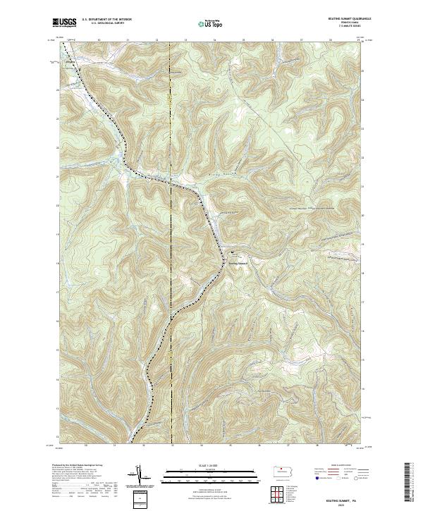
2023 Keating Summit
Potter County, PA
2023 Oleona
Potter County, PA
2023 Oswayo
Potter County, PA
2023 Roulette
Potter County, PA

2023 Short Run
Potter County, PA

2023 Ulysses
Potter County, PA

2023 West Pike
Potter County, PA

2023 Wharton
Potter County, PA
Featured Locations
- Keating Township, PA
- Portage Township, PA
- Roulette Township, PA
- Liberty Township, PA
- Norwich Township, PA