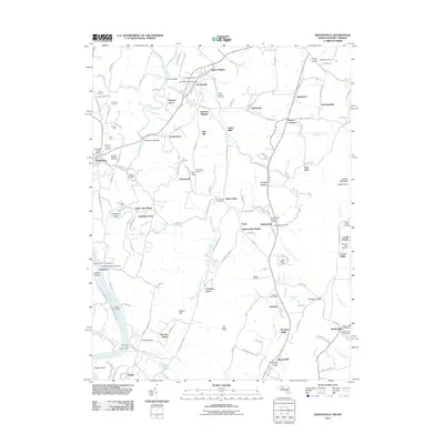
2011 Map of Keedysville
USGS Topo · Published 2011About this map
Antietam Creek winds through a landscape profoundly shaped by the 1862 Maryland Campaign, preserved here in this 2011 survey. The map details the ground surrounding Sharpsburg, showing the location of The Cornfield and Bloody Lane, alongside monuments like the Antietam National Cemetery. These labels represent one of the most significant battlefields in American history, where the terrain—defined by crossings like Snavelys Ford and Pry Ford—governed the movements of thousands.
Find a feature on this map
160 named features on this map. Tap any name to fly to it.
Don’t see what you’re looking for? This feature index may not catch every label — zoom into the map to look around manually.
Map Details
Editions of this 2011 Keedysville Map
This is the sole edition of this map. No revisions or reprints were ever made.
Other maps of this area

1884 · Harpers Ferry
USGS Topo · 1:125,000

1891 · Harpers Ferry
USGS Topo · 1:125,000

1893 · Harpers Ferry
USGS Topo · 1:125,000

1908 · Middletown
USGS Topo · 1:48,000

1909 · Hagerstown
USGS Topo · 1:48,000

1910 · Antietam
USGS Topo · 1:62,500

1912 · Hagerstown
USGS Topo · 1:62,500

1912 · Williamsport
USGS Topo · 1:62,500

1914 · Martinsburg
USGS Topo · 1:48,000

1916 · Martinsburg
USGS Topo · 1:62,500