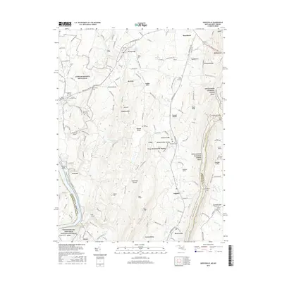
2016 Map of Keedysville
USGS Topo · Published 2016About this map
Antietam National Battlefield and its hallowed landmarks, such as Dunker Church and the Antietam National Cem, dominate the northwestern portion of this terrain. The landscape is defined by the winding course of Antietam Creek, which passes beneath historic crossings like Porterstown Bridge and the Lower Bridge. In the south, the Potomac River corridor features the Antietam Creek Aqueduct within the Chesapeake and Ohio Canal National Historical Park.
Find a feature on this map
161 named features on this map. Tap any name to fly to it.
Don’t see what you’re looking for? This feature index may not catch every label — zoom into the map to look around manually.
Map Details
Editions of this 2016 Keedysville Map
This is the sole edition of this map. No revisions or reprints were ever made.
Other maps of this area

1884 · Harpers Ferry
USGS Topo · 1:125,000

1891 · Harpers Ferry
USGS Topo · 1:125,000

1893 · Harpers Ferry
USGS Topo · 1:125,000

1908 · Middletown
USGS Topo · 1:48,000

1909 · Hagerstown
USGS Topo · 1:48,000

1910 · Antietam
USGS Topo · 1:62,500

1912 · Hagerstown
USGS Topo · 1:62,500

1912 · Williamsport
USGS Topo · 1:62,500

1914 · Martinsburg
USGS Topo · 1:48,000

1916 · Martinsburg
USGS Topo · 1:62,500