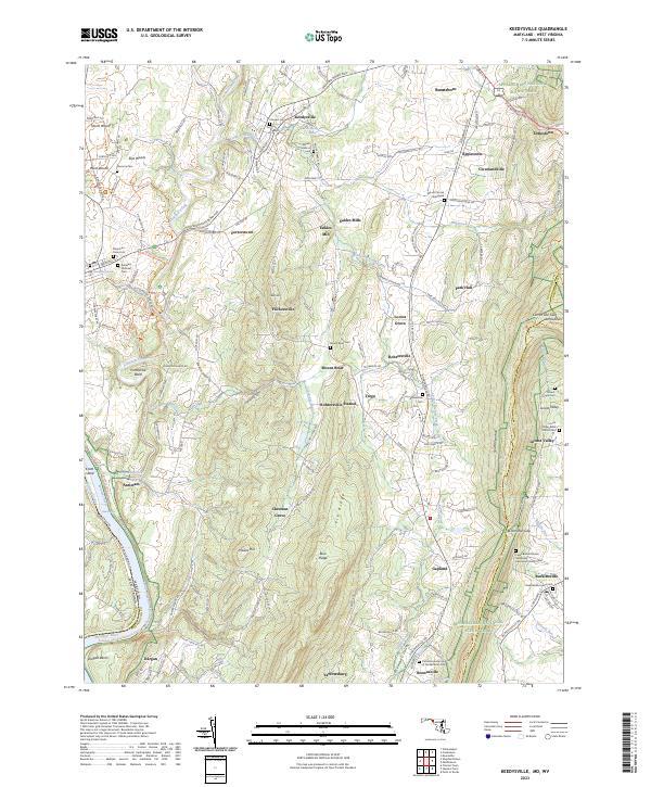
2023 Map of Keedysville
USGS Topo · Published 2023About this map
Antietam National Cem stands as a focal point in this portion of Washington County, marking the grounds of one of the Civil War's most significant battles. The terrain is defined by the winding course of Antietam Creek and the formidable ridgeline of South Mountain, where Crampton Gap provides a passage through the height. Small agricultural settlements like Keedysville, Rohrersville, and Burkittsville are connected by historical thoroughfares such as the Shepherdstown Pike and Old National Pike, tracing the development of the Maryland interior.
Find a feature on this map
70 named features on this map. Tap any name to fly to it.
Don’t see what you’re looking for? This feature index may not catch every label — zoom into the map to look around manually.
Map Details
Editions of this 2023 Keedysville Map
This is the sole edition of this map. No revisions or reprints were ever made.
Other maps of this area

1884 · Harpers Ferry
USGS Topo · 1:125,000

1891 · Harpers Ferry
USGS Topo · 1:125,000

1893 · Harpers Ferry
USGS Topo · 1:125,000

1908 · Middletown
USGS Topo · 1:48,000

1909 · Hagerstown
USGS Topo · 1:48,000

1910 · Antietam
USGS Topo · 1:62,500

1912 · Hagerstown
USGS Topo · 1:62,500

1912 · Williamsport
USGS Topo · 1:62,500

1914 · Martinsburg
USGS Topo · 1:48,000

1916 · Martinsburg
USGS Topo · 1:62,500