2021 Map of Keeler
USGS Topo · Published 2021About this map
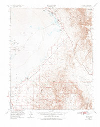
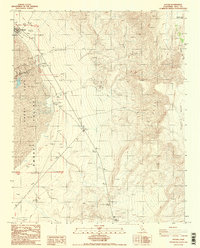
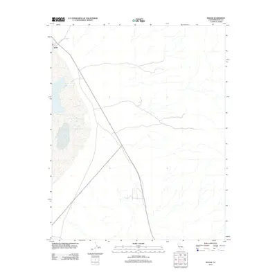
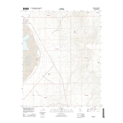
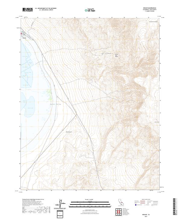
Keeler sits at the edge of the expansive Owens Lake bed, serving as a focal point where the Owens Valley meets the northern reaches of the Mojave Desert. The map reveals the stark transition from the low-lying basin to the soaring peaks of the Inyo Mountains and the White-Inyo Range to the east. This 2021 survey documents the town's grid, including Laws Ave, Cerro Gordo St, and the Old State Hwy, which hints at the area's legacy as a transportation hub for mineral wealth. Above the valley floor, the rugged high-altitude terrain of Conglomerate Mesa and Malpais Mesa dominates the eastern horizon. The inclusion of the local Po and specific street names provides a detailed look at the modern footprint of this historically significant settlement during a period of ongoing environmental change for the nearby lakebed.
Find a feature on this map
19 named features on this map. Tap any name to fly to it.
Don’t see what you’re looking for? This feature index may not catch every label — zoom into the map to look around manually.
Map Details
Editions of this 2021 Keeler Map
This is the sole edition of this map. No revisions or reprints were ever made.
Historical Maps of Keeler Through Time
6 maps found