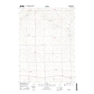
2015 Map of Keeline
USGS Topo · Published 2015About this map
Keeline serves as the primary settlement hub on this High Plains landscape, situated along the southern edge of the quadrangle. The terrain is defined by a series of prominent elevations and seasonal drainages, including the Harney Hills and Chalk Buttes to the north, and the Butler Hills rising near the center of the sheet. Water management is a visible priority in this arid region, as evidenced by the Lance Creek Number 1 Reservoir and Lance Cr Number 2 Reservoir that capture flow along the upper reaches of Lance Cr.
Find a feature on this map
25 named features on this map. Tap any name to fly to it.
Don’t see what you’re looking for? This feature index may not catch every label — zoom into the map to look around manually.
Map Details
Editions of this 2015 Keeline Map
This is the sole edition of this map. No revisions or reprints were ever made.
Other maps of this area

1950 · Amend Ranch
USGS Topo · 1:24,000

1950 · Prairie View School
USGS Topo · 1:24,000

1954 · Torrington
USGS Topo · 1:250,000

1958 · Torrington
USGS Topo · 1:250,000

1970 · Lost Springs
USGS Topo · 1:24,000

1970 · Lost Springs NW
USGS Topo · 1:24,000

1970 · Cooley Draw
USGS Topo · 1:24,000

1970 · Keeline
USGS Topo · 1:24,000

1974 · Lone Tree Hill
USGS Topo · 1:24,000

1981 · Bills Creek
USGS Topo · 1:24,000