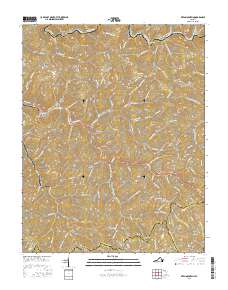
2016 Map of Keen Mountain
USGS Topo · Published 2016About this map
Grimsleyville and the winding Levisa Fork corridor define this 2016 survey of the Appalachian Highlands where Buchanan, Tazewell, and Russell Counties meet. The landscape is a dense network of steep ridges and narrow hollows, with settlements like Marvin and Keen Mountain following the paths of Contrary Cr and the river. A significant geographic boundary, the Tennessee Valley Divide, runs across the southern portion of the map near Vandyke and Clell, marking the separation of major regional watersheds. Local history and family genealogy are reflected in specific landmarks such as Ward Cem near Pilgrim Knob and named terrain features like Ratliff Ridge and Honaker Ridge. This modern topographical study captures the complex interface between the region's rugged elevation, such as Davis Mtn and Osborne Mtn, and the persistent human habitations of the mountain gaps.
Find a feature on this map
142 named features on this map. Tap any name to fly to it.
Don’t see what you’re looking for? This feature index may not catch every label — zoom into the map to look around manually.
Map Details
Editions of this 2016 Keen Mountain Map
This is the sole edition of this map. No revisions or reprints were ever made.
Other maps of this area

1886 · Grundy
USGS Topo · 1:125,000

1890 · Grundy
USGS Topo · 1:125,000

1891 · Tazewell
USGS Topo · 1:125,000

1892 · Grundy
USGS Topo · 1:125,000

1895 · Tazewell
USGS Topo · 1:125,000

1897 · Tazewell
USGS Topo · 1:125,000

1910 · Iaeger
USGS Topo · 1:48,000

1912 · Iaeger
USGS Topo · 1:62,500

1914 · Bucu
USGS Topo · 1:48,000

1914 · Iaeger
USGS Topo · 1:48,000