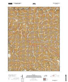
2019 Map of Keen Mountain
USGS Topo · Published 2019About this map
Grimsleyville and Keen Mountain anchor this detailed study of the southwestern Virginia highlands, where the Tennessee Valley Divide separates the watershed of the Levisa Fork from the surrounding Appalachian ridges. The map reveals a landscape defined by its narrow hollows and steep elevations, with settlements like Marvin, Vandyke, and Roth following the winding paths of Riverside Dr and the Dismal Creek drainage. Notable for genealogists, the survey identifies family-named landmarks and resting places such as Ward Cem and the route along Ferrell Cemetery Rd near Pilgrim Knob.
Find a feature on this map
118 named features on this map. Tap any name to fly to it.
Don’t see what you’re looking for? This feature index may not catch every label — zoom into the map to look around manually.
Map Details
Editions of this 2019 Keen Mountain Map
This is the sole edition of this map. No revisions or reprints were ever made.
Other maps of this area

1886 · Grundy
USGS Topo · 1:125,000

1890 · Grundy
USGS Topo · 1:125,000

1891 · Tazewell
USGS Topo · 1:125,000

1892 · Grundy
USGS Topo · 1:125,000

1895 · Tazewell
USGS Topo · 1:125,000

1897 · Tazewell
USGS Topo · 1:125,000

1910 · Iaeger
USGS Topo · 1:48,000

1912 · Iaeger
USGS Topo · 1:62,500

1914 · Bucu
USGS Topo · 1:48,000

1914 · Iaeger
USGS Topo · 1:48,000