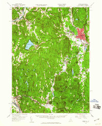
1958 Map of Keene
USGS Topo · Published 1960About this map
Keene serves as the regional hub for Cheshire County in the late 1950s, anchored by the Boston and Maine Railroad and the Dillant-Hopkins Airport. The surrounding landscape is a complex of small industrial hamlets and summer retreats, where the Ashuelot River and Connecticut River define the valley floors. In Swanzey, the concentration of settlements like Swanzey Factory, West Swanzey, and East Swanzey illustrates a heritage of water-powered industry, while Spofford Lake and various recreation sites like Camp Forest Lake point to the area's mid-century growth as a destination for seasonal camps and leisure.
Find a feature on this map
117 named features on this map. Tap any name to fly to it.
Don’t see what you’re looking for? This feature index may not catch every label — zoom into the map to look around manually.
Map Details
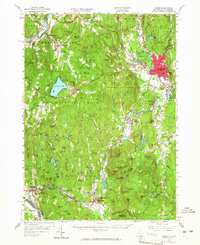
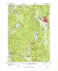
Editions of this 1958 Keene Map
3 editions found
Other maps of this area

1887 · Warwick
USGS Topo · 1:62,500

1887 · Winchendon
USGS Topo · 1:62,500

1889 · Warwick
USGS Topo · 1:62,500

1890 · Greenfield
USGS Topo · 1:62,500

1890 · Winchendon
USGS Topo · 1:62,500

1891 · Brattleboro
USGS Topo · 1:62,500

1893 · Brattleboro
USGS Topo · 1:62,500

1894 · Winchendon
USGS Topo · 1:62,500

1894 · Greenfield
USGS Topo · 1:62,500

1894 · Warwick
USGS Topo · 1:62,500