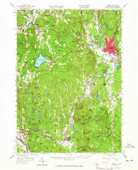
1958 Map of Keene
USGS Topo · Published 1966About this map
Keene serves as the industrial and transport hub of Cheshire County, New Hampshire, shown here during a period of mid-century growth along the Ashuelot River. The landscape is defined by the valley operations of the Boston and Maine RR and the Maine Central RR, which connect manufacturing centers like Swanzey Factory and West Swanzey to broader markets. The terrain shifts from the river plains to the high ridges of the Pisgah Mountain Range and Mount Caesar, where the environment transitions into recreational and conservation spaces like Beech Hill State Forest and the various summer camps around Spofford Lake.
Find a feature on this map
126 named features on this map. Tap any name to fly to it.
Don’t see what you’re looking for? This feature index may not catch every label — zoom into the map to look around manually.
Map Details
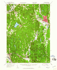
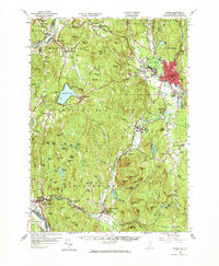
Editions of this 1958 Keene Map
3 editions found
Other maps of this area

1887 · Warwick
USGS Topo · 1:62,500

1887 · Winchendon
USGS Topo · 1:62,500

1889 · Warwick
USGS Topo · 1:62,500

1890 · Greenfield
USGS Topo · 1:62,500

1890 · Winchendon
USGS Topo · 1:62,500

1891 · Brattleboro
USGS Topo · 1:62,500

1893 · Brattleboro
USGS Topo · 1:62,500

1894 · Winchendon
USGS Topo · 1:62,500

1894 · Greenfield
USGS Topo · 1:62,500

1894 · Warwick
USGS Topo · 1:62,500