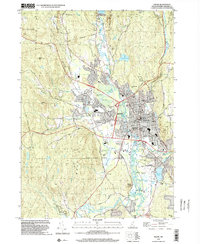
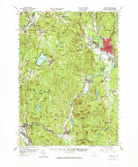
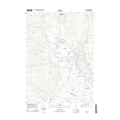
1998 Map of Keene
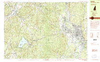
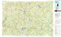
USGS Topo · Published 2002About this map
The city of Keene serves as the hub of this New Hampshire landscape, centered on the Ashuelot River and its network of feeding brooks like Tenant Swamp and Beaver Brook. By the late 1990s, the urban footprint had expanded significantly toward the Dillant - Hopkins Airport to the south, while the historic academic core remained defined by institutions such as the State College and the Cheshire Hosp Sch of Nursing.
Find a feature on this map
79 named features on this map. Tap any name to fly to it.
Don’t see what you’re looking for? This feature index may not catch every label — zoom into the map to look around manually.
Map Details
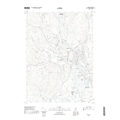
Editions of this 1998 Keene Map
This is the sole edition of this map. No revisions or reprints were ever made.
Historical Maps of Keene Through Time
13 maps found
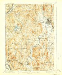
1898 Keene
Cheshire County, NH
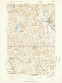
1932 Keene
Cheshire County, NH
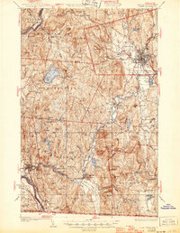
1935 Keene
Cheshire County, NH

1942 Keene
Cheshire County, NH
1958 Keene
Cheshire County, NH
1984 Keene
Cheshire County, NH
1986 Keene
Cheshire County, NH
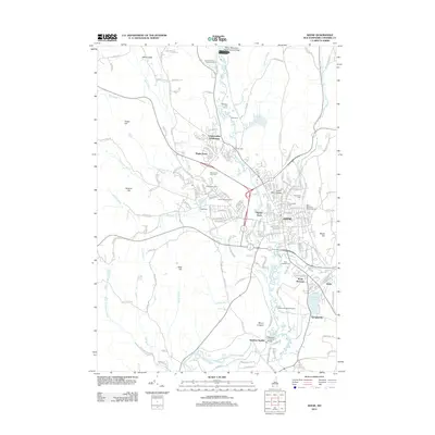
1998 Keene
Cheshire County, NH
2012 Keene
Cheshire County, NH
2015 Keene
Cheshire County, NH
2018 Keene
Cheshire County, NH

2021 Keene
Cheshire County, NH
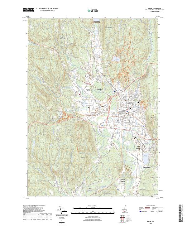
2024 Keene
Cheshire County, NH