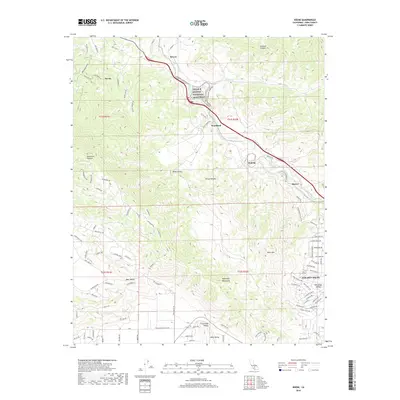
2018 Map of Keene
USGS Topo · Published 2018About this map
The César E Chávez National Monument stands as a central landmark in this 2018 survey of the southern Sierra Nevada foothills. This region in Kern County is defined by its strategic position along the transport corridor through the Tehachapi Mountains, where the rail line winds through the steep topography of Sycamore Canyon and past the historic communities of Keene and Woodford. The map reveals a complex landscape of valley floors and mountain ridges, including Keller Valley and the residential expansion of Golden Hills near the Tehachapi Valley margin.
Find a feature on this map
106 named features on this map. Tap any name to fly to it.
Don’t see what you’re looking for? This feature index may not catch every label — zoom into the map to look around manually.
Map Details
Editions of this 2018 Keene Map
This is the sole edition of this map. No revisions or reprints were ever made.
Other maps of this area

1914 · Caliente
USGS Topo · 1:125,000

1915 · Mojave
USGS Topo · 1:125,000

1929 · Bena
USGS Topo · 1:31,680

1930 · Bear Mountain
USGS Topo · 1:31,680

1932 · Bena
USGS Topo · 1:31,680

1933 · Bear Mountain
USGS Topo · 1:31,680

1943 · Tehachapi
USGS Topo · 1:62,500

1943 · Emerald Mtn
USGS Topo · 1:62,500

1943 · Cummings Mountain
USGS Topo · 1:62,500

1943 · Breckenridge Mountain
USGS Topo · 1:62,500