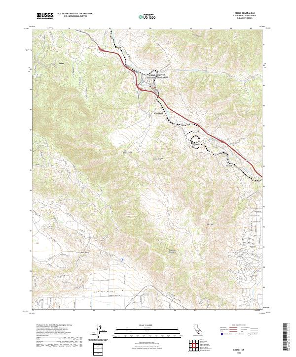
2022 Map of Keene
USGS Topo · Published 2022About this map
Cesar E Chavez National Monument serves as a central landmark in this 2022 survey of the Tehachapi Mountains and the southern Sierra Nevada range. The topography is defined by the steep descent of Tehachapi Cr as it winds through a series of rail-oriented settlements including Rowen, Woodford, Walong, and Marcel. These locations follow the serpentine path of the historic rail alignment known for its engineering complexity in overcoming the elevation change between Keene and the high valleys. To the south, the landscape opens into the broader flats of Cummings Valley and Brite Valley, where residential road networks like Mariposa Rd and Country Club Dr contrast with the steeper canyons of the north. This map captures the modern footprint of these mountain communities and the preserved historical sites dedicated to labor history.
Find a feature on this map
106 named features on this map. Tap any name to fly to it.
Don’t see what you’re looking for? This feature index may not catch every label — zoom into the map to look around manually.
Map Details
Editions of this 2022 Keene Map
This is the sole edition of this map. No revisions or reprints were ever made.
Other maps of this area

1914 · Caliente
USGS Topo · 1:125,000

1915 · Mojave
USGS Topo · 1:125,000

1929 · Bena
USGS Topo · 1:31,680

1930 · Bear Mountain
USGS Topo · 1:31,680

1932 · Bena
USGS Topo · 1:31,680

1933 · Bear Mountain
USGS Topo · 1:31,680

1943 · Tehachapi
USGS Topo · 1:62,500

1943 · Emerald Mtn
USGS Topo · 1:62,500

1943 · Cummings Mountain
USGS Topo · 1:62,500

1943 · Breckenridge Mountain
USGS Topo · 1:62,500