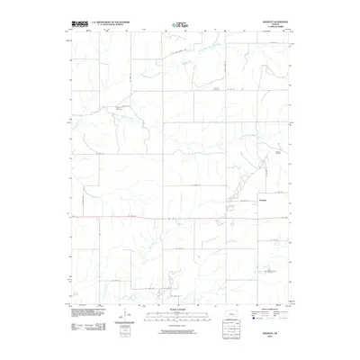
2010 Map of Keighley
USGS Topo · Published 2010About this map
Keighley serves as the primary settlement in this portion of Butler County, situated along a landscape defined by the intricate drainage of the Little Walnut River. This 2010 map details a rural geography where early twentieth-century industry meets long-standing agricultural roots. The extraction history of the region is evident through the presence of the Keighley Oil Field and the Brandt-Sensenbaugh Oil Field, while the local heritage is anchored by sites like Harmony Cemetery and Quito Cemetery. Numerous tributaries, including Honey Creek, Eagle Creek, and Hickory Creek, carve through the terrain, illustrating the natural water network that has historically supported Kansas prairie life. The road system, including Se 110th ST and Satchel Creek RD, provides a clear grid for tracing property lines and historical land use in this part of the Flint Hills region.
Find a feature on this map
33 named features on this map. Tap any name to fly to it.
Don’t see what you’re looking for? This feature index may not catch every label — zoom into the map to look around manually.
Map Details
Editions of this 2010 Keighley Map
This is the sole edition of this map. No revisions or reprints were ever made.
Other maps of this area

1888 · Eldorado
USGS Topo · 1:125,000

1955 · Wichita
USGS Topo · 1:250,000

1958 · Wichita
USGS Topo · 1:250,000

1961 · Pontiac
USGS Topo · 1:24,000

1961 · El Dorado
USGS Topo · 1:24,000

1961 · Rosalia
USGS Topo · 1:24,000

1963 · Leon
USGS Topo · 1:24,000

1964 · Augusta SE
USGS Topo · 1:24,000

1964 · Beaumont
USGS Topo · 1:24,000

1964 · Latham
USGS Topo · 1:24,000