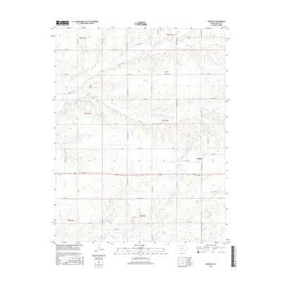
2015 Map of Keighley
USGS Topo · Published 2015About this map
Keighley and the surrounding Butler County countryside are defined by a complex network of drainage creeks and tributaries that feed the regional river system. The landscape is deeply carved by the N Br Little Walnut River and its counterpart, the S Br Little Walnut River, which transition from north to south across the survey area. These waterways are joined by numerous smaller streams, including Eagle Cr, Honey Cr, and Stony Br, illustrating the importance of natural drainage to this agricultural region.
Find a feature on this map
43 named features on this map. Tap any name to fly to it.
Don’t see what you’re looking for? This feature index may not catch every label — zoom into the map to look around manually.
Map Details
Editions of this 2015 Keighley Map
This is the sole edition of this map. No revisions or reprints were ever made.
Other maps of this area

1888 · Eldorado
USGS Topo · 1:125,000

1955 · Wichita
USGS Topo · 1:250,000

1958 · Wichita
USGS Topo · 1:250,000

1961 · Pontiac
USGS Topo · 1:24,000

1961 · El Dorado
USGS Topo · 1:24,000

1961 · Rosalia
USGS Topo · 1:24,000

1963 · Leon
USGS Topo · 1:24,000

1964 · Augusta SE
USGS Topo · 1:24,000

1964 · Beaumont
USGS Topo · 1:24,000

1964 · Latham
USGS Topo · 1:24,000