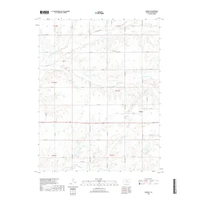
2018 Map of Keighley
USGS Topo · Published 2018About this map
Keighley sits at the heart of this Butler County landscape, where the prairie is defined by the winding paths of the N Br Little Walnut River and S Br Little Walnut River. The drainage patterns show a transition from the rolling uplands down into these primary river valleys, fed by smaller tributaries such as Eagle Cr and Honey Cr. For those tracing local history or family lineage, the map identifies significant landmarks including Harmony Cem and Quito Cem, both preserved along the rural road network. The gridded section lines of the Public Land Survey System, such as t27s r7e, dictate the modern road layout, while natural features like Stony Br and Hickory Cr continue to shape the physical character of the terrain.
Find a feature on this map
40 named features on this map. Tap any name to fly to it.
Don’t see what you’re looking for? This feature index may not catch every label — zoom into the map to look around manually.
Map Details
Editions of this 2018 Keighley Map
This is the sole edition of this map. No revisions or reprints were ever made.
Other maps of this area

1888 · Eldorado
USGS Topo · 1:125,000

1955 · Wichita
USGS Topo · 1:250,000

1958 · Wichita
USGS Topo · 1:250,000

1961 · Pontiac
USGS Topo · 1:24,000

1961 · El Dorado
USGS Topo · 1:24,000

1961 · Rosalia
USGS Topo · 1:24,000

1963 · Leon
USGS Topo · 1:24,000

1964 · Augusta SE
USGS Topo · 1:24,000

1964 · Beaumont
USGS Topo · 1:24,000

1964 · Latham
USGS Topo · 1:24,000