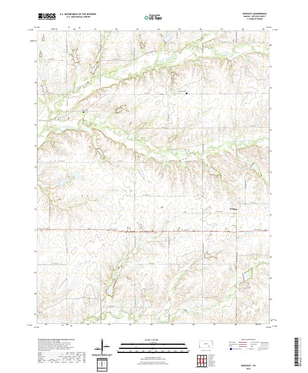
2022 Map of Keighley
USGS Topo · Published 2022About this map
The small unincorporated community of Keighley sits amidst the drainage network of the Little Walnut River in eastern Butler County. The landscape is defined by the branching waterways of the N Br Little Walnut River and S Br Little Walnut River, along with numerous tributaries like Eagle Cr and Honey Cr. This modern survey reveals a rural infrastructure built upon a rigid section-line road grid, including SE Munson Hill Rd and SE Grant Rd, which navigate the undulating terrain of the Flint Hills region.
Find a feature on this map
40 named features on this map. Tap any name to fly to it.
Don’t see what you’re looking for? This feature index may not catch every label — zoom into the map to look around manually.
Map Details
Editions of this 2022 Keighley Map
This is the sole edition of this map. No revisions or reprints were ever made.
Other maps of this area

1888 · Eldorado
USGS Topo · 1:125,000

1955 · Wichita
USGS Topo · 1:250,000

1958 · Wichita
USGS Topo · 1:250,000

1961 · Pontiac
USGS Topo · 1:24,000

1961 · El Dorado
USGS Topo · 1:24,000

1961 · Rosalia
USGS Topo · 1:24,000

1963 · Leon
USGS Topo · 1:24,000

1964 · Augusta SE
USGS Topo · 1:24,000

1964 · Beaumont
USGS Topo · 1:24,000

1964 · Latham
USGS Topo · 1:24,000