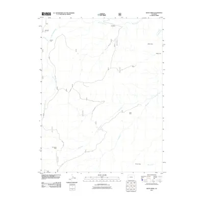
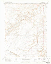
2011 Map of Keith Creek
USGS Topo · Published 2011About this map
Big Dominguez Creek and its complex network of tributaries, including Little Dominguez Creek and Keith Creek, define the drainage patterns of this high-plateau landscape. The area is characterized by massive landforms such as Middle Mesa and Brushy Ridge, which illustrate the high-altitude topography of western Colorado. Human presence is concentrated at seasonal and recreational sites like Winter Camp and the Dominguez Campground, reflecting a land use pattern focused on ranching and public forest access. Long-established travel routes follow the terrain, notably along Dominguez Ridge and Divide Rd. Notable geological and landmark features such as Black Point and Carson Hole provide essential navigational points for those tracking historical land use or regional geography in this part of Mesa County.
Find a feature on this map
19 named features on this map. Tap any name to fly to it.
Don’t see what you’re looking for? This feature index may not catch every label — zoom into the map to look around manually.
Map Details
Editions of this 2011 Keith Creek Map
This is the sole edition of this map. No revisions or reprints were ever made.
Other maps of this area

1956 · Moab
USGS Topo · 1:250,000

1959 · Moab
USGS Topo · 1:250,000

1960 · Moab
USGS Topo · 1:250,000

1962 · Moab
USGS Topo · 1:250,000

1964 · Moab
USGS Topo · 1:250,000

1965 · Moab
USGS Topo · 1:250,000
1969 · Triangle Mesa
USGS Topo · 1:24,000
1972 · Casto Reservoir
USGS Topo · 1:24,000
1972 · Snyder Flats
USGS Topo · 1:24,000
1972 · Jacks Canyon
USGS Topo · 1:24,000