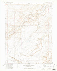
1972 Map of Jacks Canyon
USGS Topo · Published 1975About this map
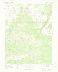
Uncompahgre National Forest encompasses a significant portion of this high-altitude landscape, where deep drainages like Big Dominguez Canyon and Farmers Canyon carve through the plateau. The terrain is defined by a network of seasonal watercourses and prominent landforms such as Gibbler Mountain, showing a primitive infrastructure of Jeep Trails and a Pack Trail that speak to the area's use for grazing and exploration. Near Nancy Hanks Gulch and Taylor Gulch, several Mines, Prospects, and a Quarry indicate the area's mineral interest during the mid-20th century. The principal thoroughfare, Divide Road, follows the high ground above the steep descent into Unaweep Creek, providing a primary route through the rugged wilderness south of the Colorado River valley.
Find a feature on this map
22 named features on this map. Tap any name to fly to it.
Don’t see what you’re looking for? This feature index may not catch every label — zoom into the map to look around manually.
Map Details
Editions of this 1972 Jacks Canyon Map
2 editions found
Other maps of this area

1956 · Moab
USGS Topo · 1:250,000

1959 · Moab
USGS Topo · 1:250,000

1960 · Moab
USGS Topo · 1:250,000

1962 · Moab
USGS Topo · 1:250,000

1964 · Moab
USGS Topo · 1:250,000

1965 · Moab
USGS Topo · 1:250,000
1969 · Whitewater
USGS Topo · 1:24,000
1969 · Triangle Mesa
USGS Topo · 1:24,000
1969 · Glade Park
USGS Topo · 1:24,000
1969 · Island Mesa
USGS Topo · 1:24,000