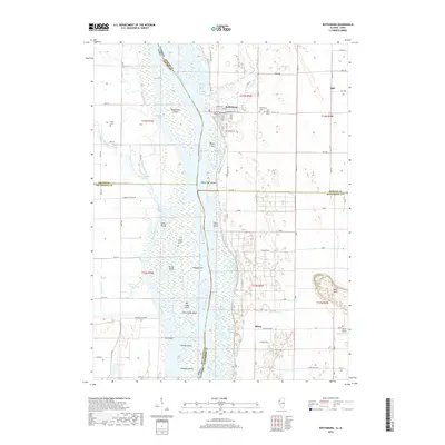
2018 Map of Keithsburg
USGS Topo · Published 2018About this map
Keithsburg serves as a central hub on the eastern banks of the Mississippi River in this 2018 study of the Illinois-Iowa border. The landscape is defined by the complex, shifting hydrology of the river valley, where numerous islands such as Big Cody Island and Huron Island sit between secondary channels like Huron Chute and Gun Chute. This area shows the heavy influence of drainage engineering, including the Diversion Channel and the County Line Ditch, which manage the low-lying bottomlands. Local history is anchored by several burial grounds, notably the Keithsburg Cem Saint Mary's Cem and the more isolated Huron Island Cem. To the east, the terrain rises sharply toward Bald Bluff, providing a clear contrast to the river-level settlements of Milroy and Ogle.
Find a feature on this map
76 named features on this map. Tap any name to fly to it.
Don’t see what you’re looking for? This feature index may not catch every label — zoom into the map to look around manually.
Map Details
Editions of this 2018 Keithsburg Map
This is the sole edition of this map. No revisions or reprints were ever made.
Other maps of this area

1934 · Oquawka
USGS Topo · 1:48,000

1934 · Burlington
USGS Topo · 1:48,000

1935 · Keithsburg
USGS Topo · 1:48,000

1940 · Oquawka
USGS Topo · 1:62,500

1940 · Burlington
USGS Topo · 1:62,500

1941 · Keithsburg
USGS Topo · 1:62,500

1946 · Wapello
USGS Topo · 1:62,500

1949 · Wapello
USGS Topo · 1:62,500

1953 · Toolesboro
USGS Topo · 1:24,000
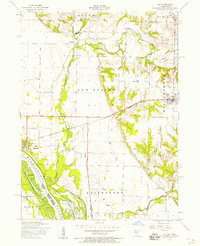
1953 · Joy
USGS Topo · 1:24,000