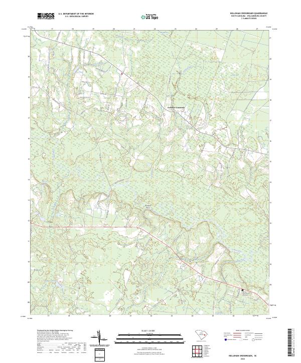
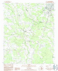
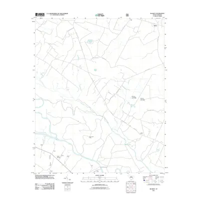
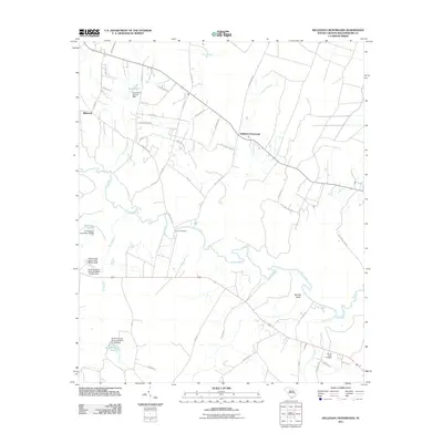
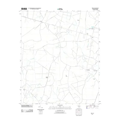
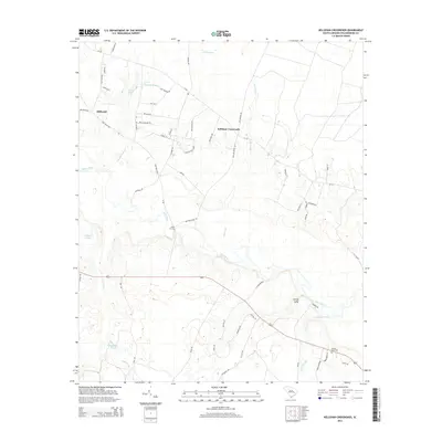
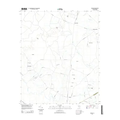
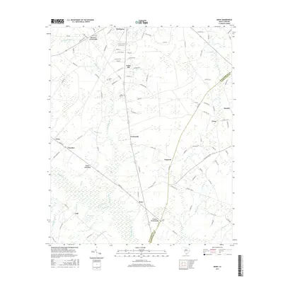
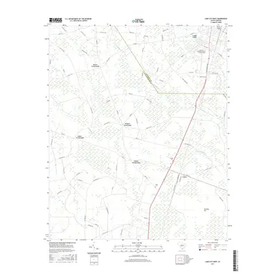
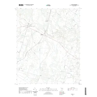
2024 Map of Kellehan Crossroads
USGS Topo · Published 2024About this map
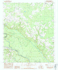
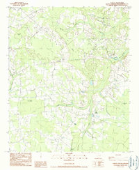
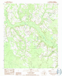
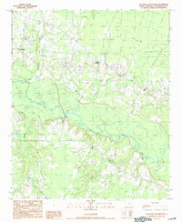
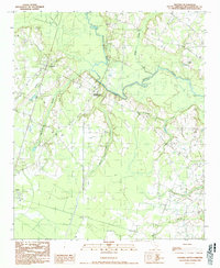
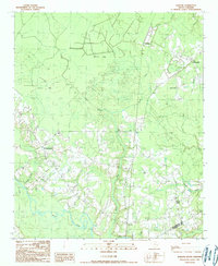
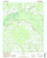
The Morass and the slow-moving Black River define the watery landscape of this Williamsburg County quadrant. The terrain is characterized by a complex network of wetlands and drainage features, including Dry Swamp, Camden Swamp, and Ox Swamp. These low-lying areas dictate the placement of local infrastructure, where rural routes like Poor Farm Rd and Doc Kellahan Rd navigate around significant water bodies such as Scott Pond and Sheppard Pond.
Find a feature on this map
52 named features on this map. Tap any name to fly to it.
Don’t see what you’re looking for? This feature index may not catch every label — zoom into the map to look around manually.
Map Details
Editions of this 2024 Kellehan Crossroads Map
This is the sole edition of this map. No revisions or reprints were ever made.
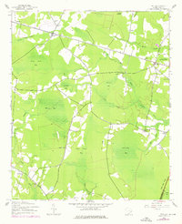
Historical Maps of Kellahan Crossroad Through Time
67 maps found
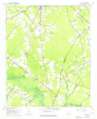
1943 Henry
Williamsburg County, SC
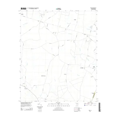
1943 Trio
Williamsburg County, SC
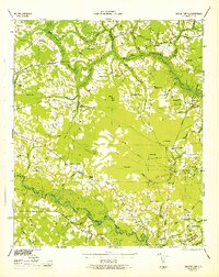
1946 Indiantown
Williamsburg County, SC
1990 Blakely
Williamsburg County, SC
1990 Fowler
Williamsburg County, SC
1990 Indiantown
Williamsburg County, SC
1990 Kellehan Crossroads
Williamsburg County, SC

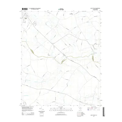
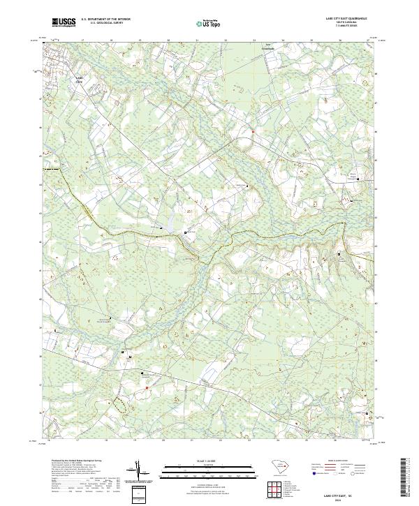
1990 Lake City East
Williamsburg County, SC
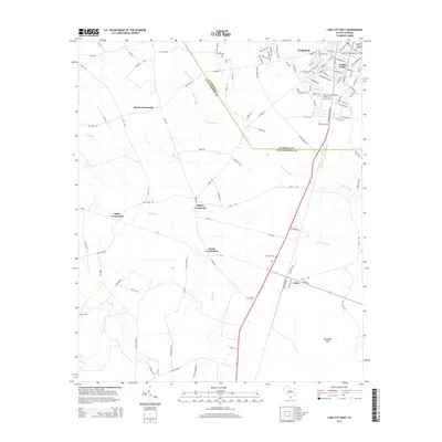
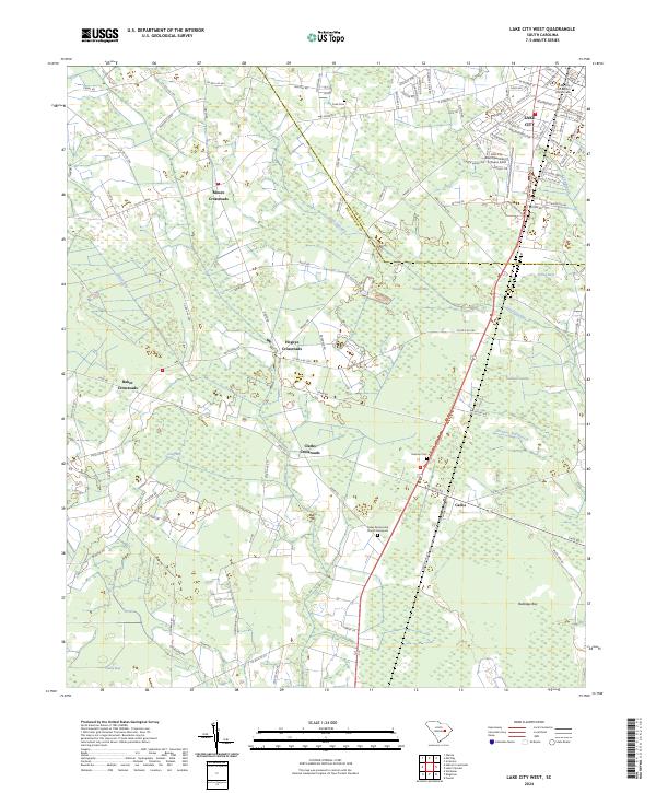
1990 Lake City West
Williamsburg County, SC
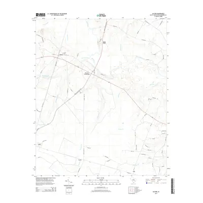
1990 Salters
Williamsburg County, SC
1990 Warsaw
Williamsburg County, SC
1990 Workman
Williamsburg County, SC
2011 Blakely
Williamsburg County, SC
2011 Fowler
Williamsburg County, SC
2011 Henry
Williamsburg County, SC
2011 Indiantown
Williamsburg County, SC
2011 Kellehan Crossroads
Williamsburg County, SC
2011 Lake City East
Williamsburg County, SC
2011 Lake City West
Williamsburg County, SC
2011 Salters
Williamsburg County, SC
2011 Trio
Williamsburg County, SC
2011 Warsaw
Williamsburg County, SC
2011 Workman
Williamsburg County, SC
2014 Blakely
Williamsburg County, SC
2014 Fowler
Williamsburg County, SC
2014 Henry
Williamsburg County, SC
2014 Indiantown
Williamsburg County, SC
2014 Kellehan Crossroads
Williamsburg County, SC
2014 Lake City East
Williamsburg County, SC
2014 Lake City West
Williamsburg County, SC
2014 Salters
Williamsburg County, SC
2014 Trio
Williamsburg County, SC
2014 Warsaw
Williamsburg County, SC
2014 Workman
Williamsburg County, SC
2017 Blakely
Williamsburg County, SC
2017 Fowler
Williamsburg County, SC
2017 Henry
Williamsburg County, SC
2017 Indiantown
Williamsburg County, SC
2017 Kellehan Crossroads
Williamsburg County, SC
2017 Lake City East
Williamsburg County, SC
2017 Lake City West
Williamsburg County, SC
2017 Salters
Williamsburg County, SC
2017 Trio
Williamsburg County, SC
2017 Warsaw
Williamsburg County, SC
2017 Workman
Williamsburg County, SC
2020 Blakely
Williamsburg County, SC
2020 Fowler
Williamsburg County, SC
2020 Henry
Williamsburg County, SC
2020 Indiantown
Williamsburg County, SC
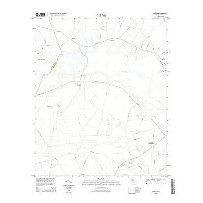
2020 Kellehan Crossroads
Williamsburg County, SC
2020 Lake City East
Williamsburg County, SC
2020 Lake City West
Williamsburg County, SC
2020 Salters
Williamsburg County, SC
2020 Trio
Williamsburg County, SC
2020 Warsaw
Williamsburg County, SC
2020 Workman
Williamsburg County, SC
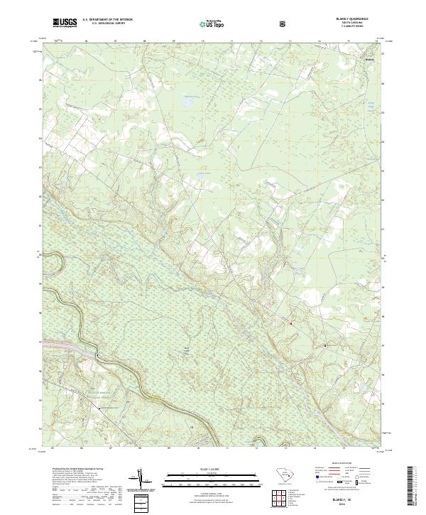
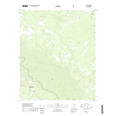
2024 Blakely
Williamsburg County, SC
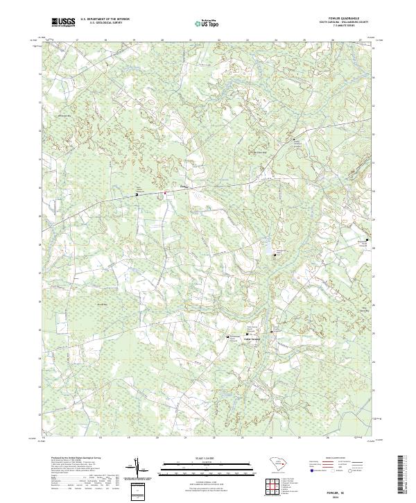
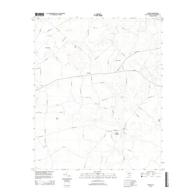
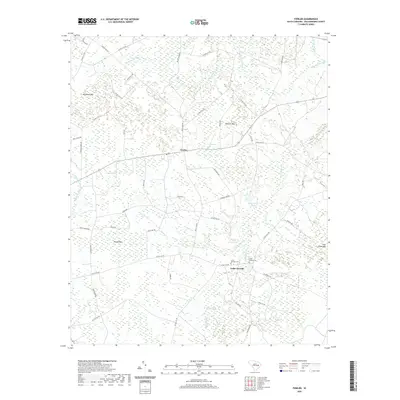
2024 Fowler
Williamsburg County, SC
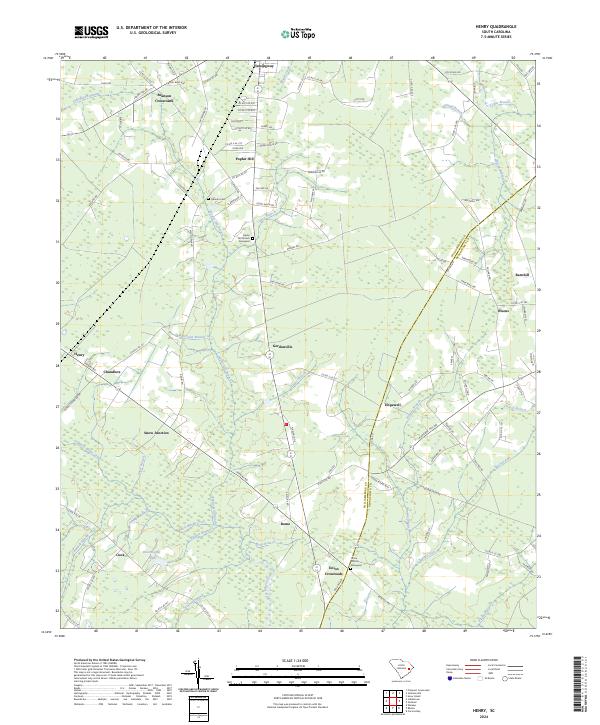
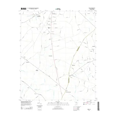
2024 Henry
Williamsburg County, SC
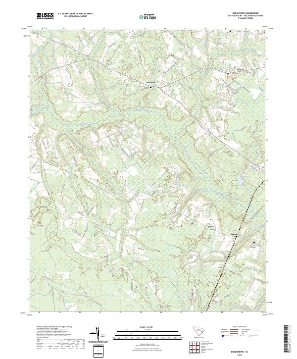
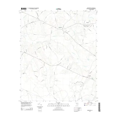
2024 Indiantown
Williamsburg County, SC
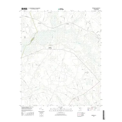
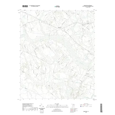
2024 Kellehan Crossroads
Williamsburg County, SC
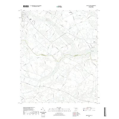
2024 Lake City East
Williamsburg County, SC
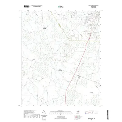
2024 Lake City West
Williamsburg County, SC
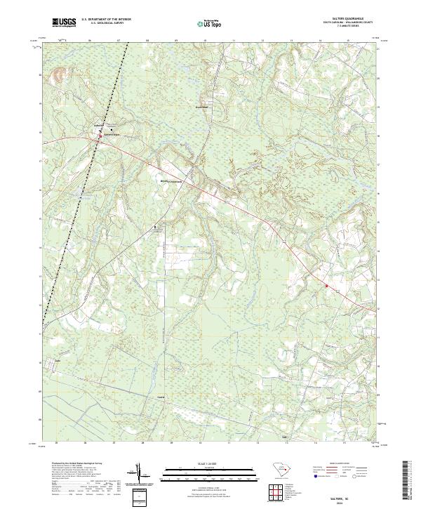
2024 Salters
Williamsburg County, SC
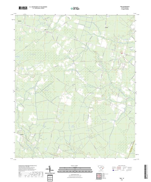
2024 Trio
Williamsburg County, SC
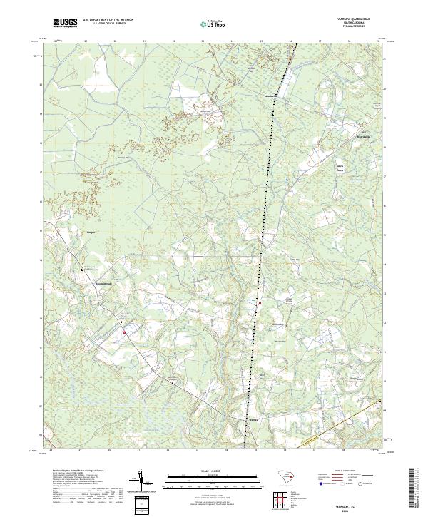
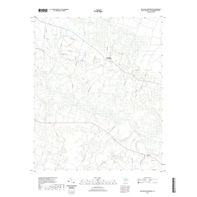
2024 Warsaw
Williamsburg County, SC
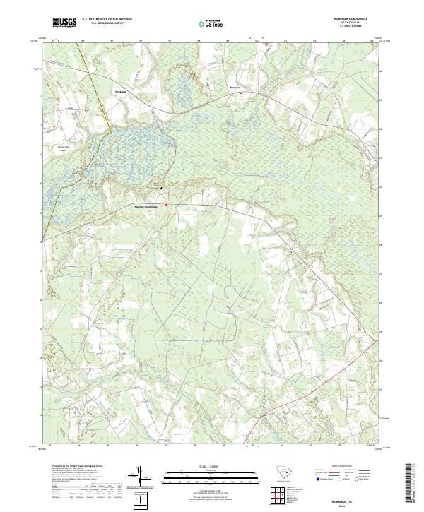
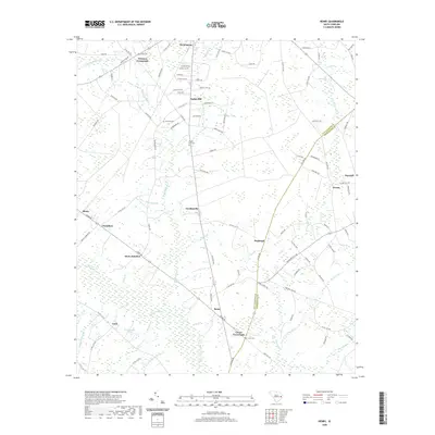
2024 Workman
Williamsburg County, SC