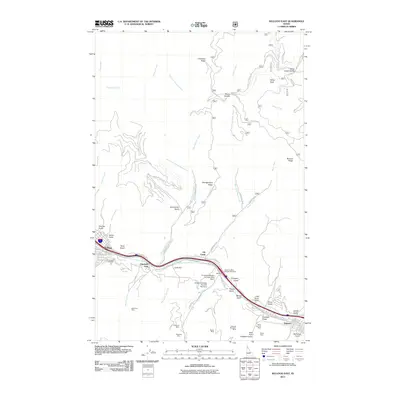
2011 Map of Kellogg East
USGS Topo · Published 2011About this map
Industrial silver and lead mining operations dominate the corridor along the South Fork Coeur d'Alene River in this Idaho panhandle study. The map documents a high concentration of mineral claims south of the river, including the Sunshine Mine, Polaris Mine, and Nellie Mine. A poignant local landmark, the Sunshine Mine Disaster Memorial, stands near Elk Creek, commemorating the region's difficult mining history. To the west, the city of Kellogg serves as the primary hub, with the Greenwood Cemetery situated on its southeastern edge. The landscape is deeply incised by named gulches such as Italian Gulch and Terror Gulch, reflecting a terrain shaped by both geologic forces and extensive prospecting. Infrastructure supporting the mines is evident in the network of service roads and containment structures like the Sunshine Tailings Number One Dam.
Find a feature on this map
63 named features on this map. Tap any name to fly to it.
Don’t see what you’re looking for? This feature index may not catch every label — zoom into the map to look around manually.
Map Details
Editions of this 2011 Kellogg East Map
This is the sole edition of this map. No revisions or reprints were ever made.
Other maps of this area

1901 · Coeur D'Alene District
USGS Topo · 1:62,500

1903 · Coeur D'Alene District
USGS Topo · 1:62,500

1906 · Coeur D'Alene District
USGS Topo · 1:62,500

1909 · Cataldo
USGS Topo · 1:125,000

1911 · Cataldo
USGS Topo · 1:125,000

1914 · Avery
USGS Topo · 1:125,000

1917 · Avery
USGS Topo · 1:125,000

1932 · Trout Creek
USGS Topo · 1:125,000

1935 · Trout Creek
USGS Topo · 1:125,000

1936 · Trout Creek
USGS Topo · 1:125,000