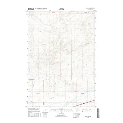
2017 Map of Kelly Hills
USGS Topo · Published 2017About this map
The Kelly Hills dominate the central landscape of this Montana survey, providing a rugged backdrop to the drainage basins of the Yellowstone River. To the north and west, the terrain is defined by the winding paths of E Fork Duck Cr and W Fork Duck Cr, which carve through the high ground before meeting the main branch of Duck Creek. A distinct boundary line separates Sweet Grass Co and Park Co, cutting across the southern portion of the map where the elevation drops toward the river valley.
Find a feature on this map
24 named features on this map. Tap any name to fly to it.
Don’t see what you’re looking for? This feature index may not catch every label — zoom into the map to look around manually.
Map Details
Editions of this 2017 Kelly Hills Map
This is the sole edition of this map. No revisions or reprints were ever made.
Other maps of this area

1891 · Livingston
USGS Topo · 1:250,000

1893 · Livingston
USGS Topo · 1:250,000

1947 · Bozeman
USGS Topo · 1:250,000

1948 · Bozeman
USGS Topo · 1:250,000
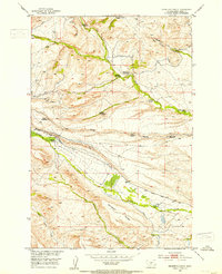
1951 · Grosfield Ranch
USGS Topo · 1:24,000
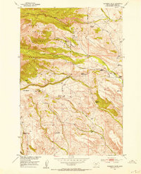
1951 · Raspberry Butte
USGS Topo · 1:24,000

1951 · Kelly Hills
USGS Topo · 1:24,000

1951 · Springdale
USGS Topo · 1:24,000

1951 · Hunters Hot Springs
USGS Topo · 1:24,000

1951 · Elton
USGS Topo · 1:24,000