
1951 Map of Springdale
USGS Topo · Published 1953About this map
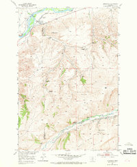
The Northern Pacific railroad follows the winding path of the Yellowstone River through the northern reaches of this territory, where the settlement of Springdale and the Springdale Ranch are established near the county line. The landscape is defined by the transition from the river valley to the elevated terrain of the Coal Mine Rim in the south, where the West Boulder River cuts through the hills.
Find a feature on this map
27 named features on this map. Tap any name to fly to it.
Don’t see what you’re looking for? This feature index may not catch every label — zoom into the map to look around manually.
Map Details
Editions of this 1951 Springdale Map
4 editions found
Other maps of this area

1891 · Livingston
USGS Topo · 1:250,000

1893 · Livingston
USGS Topo · 1:250,000

1947 · Bozeman
USGS Topo · 1:250,000

1948 · Bozeman
USGS Topo · 1:250,000

1951 · Mount Rae
USGS Topo · 1:24,000

1951 · Squaw Peak
USGS Topo · 1:24,000

1951 · Kelly Hills
USGS Topo · 1:24,000

1951 · Mc Leod Basin
USGS Topo · 1:24,000

1951 · Hunters Hot Springs
USGS Topo · 1:24,000

1951 · Elton
USGS Topo · 1:24,000