
1951 Map of Mc Leod Basin
USGS Topo · Published 1953About this map
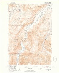
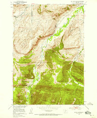
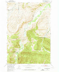
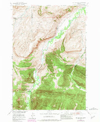
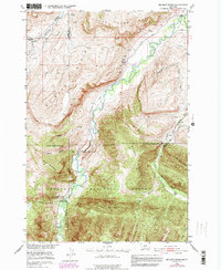
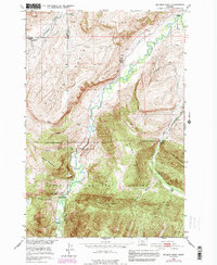
The Boulder River carves a deep valley through the heart of this mid-century Montana landscape, where the Gallatin National Forest boundary meets the agricultural lands of Park and Sweet Grass counties. The presence of the Coal Mine in the northern hills and the network of irrigation systems like the Mc Leod Ditch and Mason Ditch illustrate the era's reliance on both extractive industry and water management for ranching. A notable shift in local infrastructure is visible with the McLeod School (Aband) appearing alongside the functioning West Boulder School, suggesting changing settlement patterns. Recreation and conservation are anchored by the Main Boulder Ranger Station and the Old Kainuck Guest Ranch, while landmarks like the Natural Bridge and Falls remain prominent natural features in the high terrain of Baker Mountain and Green Mountain.
Find a feature on this map
25 named features on this map. Tap any name to fly to it.
Don’t see what you’re looking for? This feature index may not catch every label — zoom into the map to look around manually.
Map Details
Editions of this 1951 Mc Leod Basin Map
7 editions found
Other maps of this area

1891 · Livingston
USGS Topo · 1:250,000

1893 · Livingston
USGS Topo · 1:250,000

1940 · Mt. Cowen
USGS Topo · 1:62,500

1941 · Mt Douglas
USGS Topo · 1:62,500

1943 · Mt Douglas
USGS Topo · 1:62,500

1943 · Mt Cowen
USGS Topo · 1:62,500

1947 · Bozeman
USGS Topo · 1:250,000

1948 · Bozeman
USGS Topo · 1:250,000

1951 · Mount Rae
USGS Topo · 1:24,000

1951 · Squaw Peak
USGS Topo · 1:24,000