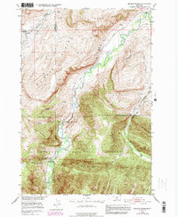
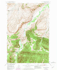
1951 Map of Mc Leod Basin
USGS Topo · Published 1981About this map
The Boulder River carves through this Montana landscape, where the transition from ranching life to protected wilderness is clearly visible in the mid-20th century. The presence of the Old Kaintuck Guest Ranch and the Main Boulder Ranger Station at the southern edge of the basin highlights the area's role as a gateway to the Gallatin National Forest. Evidence of early community infrastructure appears in the West Boulder School and the McLeod School (Aband), tracing the shifting population centers along the river valley.
Find a feature on this map
30 named features on this map. Tap any name to fly to it.
Don’t see what you’re looking for? This feature index may not catch every label — zoom into the map to look around manually.
Map Details
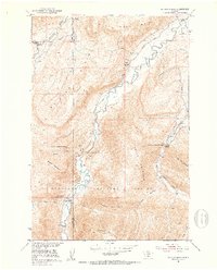
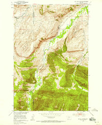
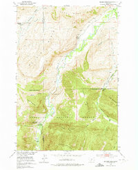
Editions of this 1951 Mc Leod Basin Map
7 editions found

Other maps of this area

1891 · Livingston
USGS Topo · 1:250,000

1893 · Livingston
USGS Topo · 1:250,000

1940 · Mt. Cowen
USGS Topo · 1:62,500

1941 · Mt Douglas
USGS Topo · 1:62,500

1943 · Mt Douglas
USGS Topo · 1:62,500

1943 · Mt Cowen
USGS Topo · 1:62,500

1947 · Bozeman
USGS Topo · 1:250,000

1948 · Bozeman
USGS Topo · 1:250,000

1951 · Mount Rae
USGS Topo · 1:24,000

1951 · Squaw Peak
USGS Topo · 1:24,000