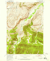
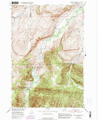
1951 Map of Mc Leod Basin
USGS Topo · Published 1958About this map
The Boulder River carves a deep valley through the heart of this landscape, separating the high elevations of Coal Mine Ridge from the rugged peaks of the Gallatin National Forest. This 1951 survey, produced for the Missouri River Basin development program, shows a transition from the agricultural lower valley to the protected timberlands of Baker Mountain and Tepee Mountain. Evidence of early 20th-century life is scattered along the riverbanks, including the West Boulder School and the McLeod School (Aband). Recreational and administrative activity is centered around the Main Boulder Ranger Station and the Old Kaintuck Guest Ranch, while geological landmarks like the Natural Bridge and Falls highlight the unique canyon topography. The map also delineates the high divide at Contact Mountain, where local water sources like Contact Creek and Anderson Springs feed the greater river system.
Find a feature on this map
23 named features on this map. Tap any name to fly to it.
Don’t see what you’re looking for? This feature index may not catch every label — zoom into the map to look around manually.
Map Details
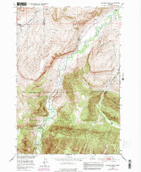
Editions of this 1951 Mc Leod Basin Map
7 editions found

Other maps of this area

1891 · Livingston
USGS Topo · 1:250,000

1893 · Livingston
USGS Topo · 1:250,000

1940 · Mt. Cowen
USGS Topo · 1:62,500

1941 · Mt Douglas
USGS Topo · 1:62,500

1943 · Mt Douglas
USGS Topo · 1:62,500

1943 · Mt Cowen
USGS Topo · 1:62,500

1947 · Bozeman
USGS Topo · 1:250,000

1948 · Bozeman
USGS Topo · 1:250,000

1951 · Mount Rae
USGS Topo · 1:24,000

1951 · Squaw Peak
USGS Topo · 1:24,000