
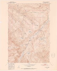
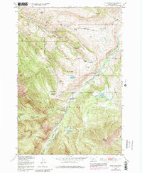
1951 Map of Mount Rae
USGS Topo · Published 1953About this map
The West Boulder River and its accompanying West Boulder Meadows anchor this 1951 study of the high country in Gallatin National Forest. The map documents a specific phase of mountain settlement where early 20th-century family ventures were being reclaimed by the wilderness, noted by a high concentration of sites like the Bruffey Homestead (Aban'd) and Swingley Ranch (Aban'd).
Find a feature on this map
40 named features on this map. Tap any name to fly to it.
Don’t see what you’re looking for? This feature index may not catch every label — zoom into the map to look around manually.
Map Details
Editions of this 1951 Mount Rae Map
6 editions found
Other maps of this area

1891 · Livingston
USGS Topo · 1:250,000

1893 · Livingston
USGS Topo · 1:250,000

1940 · Mt. Cowen
USGS Topo · 1:62,500

1941 · Mt Douglas
USGS Topo · 1:62,500

1943 · Mt Douglas
USGS Topo · 1:62,500

1943 · Mt Cowen
USGS Topo · 1:62,500

1947 · Bozeman
USGS Topo · 1:250,000

1948 · Bozeman
USGS Topo · 1:250,000

1951 · Livingston Peak
USGS Topo · 1:24,000

1951 · Springdale
USGS Topo · 1:24,000