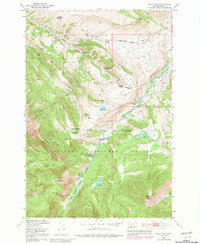
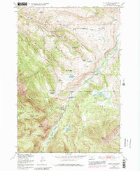
1951 Map of Mount Rae
USGS Topo · Published 1981About this map
Bruffey Homestead and a cluster of other abandoned residences suggest a shift in high-altitude ranching and settlement patterns within the Gallatin National Forest by the mid-20th century. The topography is dominated by the West Boulder Divide, which separates the drainages of Little Mission Creek and the Boulder River. This 1951 survey, with revisions from 1977, documents the transition from early pioneer homesteading to a more managed wilderness landscape, including the West Boulder Ranger Station and the Absaroka-Beartooth Wilderness. The presence of the Gordon School and working operations like the Bar Twenty Ranch alongside numerous former sites like the Swingley Ranch and Fisher Homestead provides a detailed record of land use at the edge of the wilderness. Rising above the river valleys, landmarks such as Shell Mountain, Lion Mountain, and Mount Rae define the high terrain of Park County.
Find a feature on this map
38 named features on this map. Tap any name to fly to it.
Don’t see what you’re looking for? This feature index may not catch every label — zoom into the map to look around manually.
Map Details
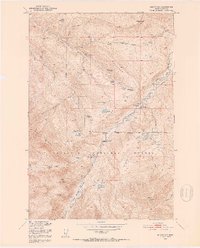
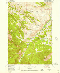
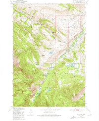
Editions of this 1951 Mount Rae Map
6 editions found
Other maps of this area

1891 · Livingston
USGS Topo · 1:250,000

1893 · Livingston
USGS Topo · 1:250,000

1940 · Mt. Cowen
USGS Topo · 1:62,500

1941 · Mt Douglas
USGS Topo · 1:62,500

1943 · Mt Douglas
USGS Topo · 1:62,500

1943 · Mt Cowen
USGS Topo · 1:62,500

1947 · Bozeman
USGS Topo · 1:250,000

1948 · Bozeman
USGS Topo · 1:250,000

1951 · Mount Rae
USGS Topo · 1:24,000

1951 · Livingston Peak
USGS Topo · 1:24,000