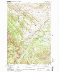
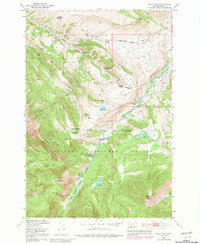
1951 Map of Mount Rae
USGS Topo · Published 1981About this map
Bruffey Homestead and Swingley Ranch mark the transition from early ranching life to the protected wilderness of the mid-20th century. This area of Park County showcases a landscape of high-elevation plateaus like Taylor Flat and Burris Flat, situated between the drainage of the Boulder River and the steep slopes of the Gallatin National Forest. The presence of the Gordon School suggests a once-active community of homesteaders and ranchers, many of whose holdings, such as the Lamp Homestead and Fisher Homestead, are noted as abandoned by the time of the 1951 field check.
Find a feature on this map
38 named features on this map. Tap any name to fly to it.
Don’t see what you’re looking for? This feature index may not catch every label — zoom into the map to look around manually.
Map Details
Editions of this 1951 Mount Rae Map
6 editions found
Other maps of this area

1891 · Livingston
USGS Topo · 1:250,000

1893 · Livingston
USGS Topo · 1:250,000

1940 · Mt. Cowen
USGS Topo · 1:62,500

1941 · Mt Douglas
USGS Topo · 1:62,500

1943 · Mt Douglas
USGS Topo · 1:62,500

1943 · Mt Cowen
USGS Topo · 1:62,500

1947 · Bozeman
USGS Topo · 1:250,000

1948 · Bozeman
USGS Topo · 1:250,000

1951 · Mount Rae
USGS Topo · 1:24,000

1951 · Livingston Peak
USGS Topo · 1:24,000