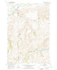
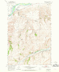
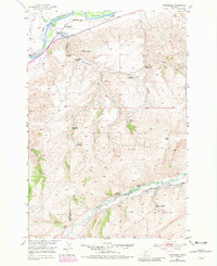
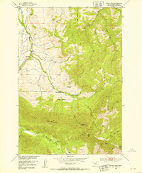
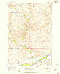
1951 Map of Springdale
USGS Topo · Published 1975About this map
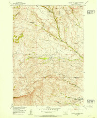
The Northern Pacific railroad follows the winding course of the Yellowstone River in this mid-century survey of the Park Co Sweet Grass Co boundary. The small settlement of Springdale serves as a focal point in the north, while the landscape to the south is defined by a dense network of homesteads and ranches scattered along drainage systems like Mendenhall Creek and Jarrett Creek. The mapping of several sites, including the Hash Homestead (Aban'd), Bert Woods Homestead, and Bob Woods Homestead, provides significant genealogical value for those tracing family ties to this portion of Montana.
Find a feature on this map
32 named features on this map. Tap any name to fly to it.
Don’t see what you’re looking for? This feature index may not catch every label — zoom into the map to look around manually.
Map Details
Editions of this 1951 Springdale Map
4 editions found
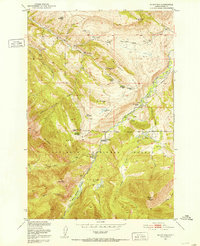
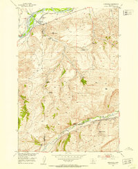
Other maps of this area

1891 · Livingston
USGS Topo · 1:250,000

1893 · Livingston
USGS Topo · 1:250,000

1947 · Bozeman
USGS Topo · 1:250,000

1948 · Bozeman
USGS Topo · 1:250,000
1951 · Mount Rae
USGS Topo · 1:24,000
1951 · Squaw Peak
USGS Topo · 1:24,000
1951 · Kelly Hills
USGS Topo · 1:24,000
1951 · Springdale
USGS Topo · 1:24,000
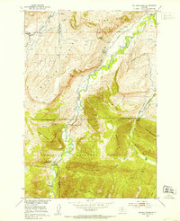
1951 · Mc Leod Basin
USGS Topo · 1:24,000
1951 · Hunters Hot Springs
USGS Topo · 1:24,000