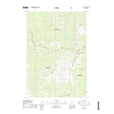
2020 Map of Kelly Lake
USGS Topo · Published 2020About this map
The Bitterroot-Rock Creek Divide serves as the high-elevation backbone of this high-altitude landscape, where the borders of Ravalli, Granite, Deer Lodge, and Beaverhead counties meet. The convergence of these administrative lines at the Anaconda Range highlights the complex jurisdictional history of this wilderness. The terrain is defined by a dense concentration of glacial cirques and alpine lakes, including Kelly Lake, Ivanhoe Lake, and the secluded Oreamnos Lake.
Find a feature on this map
54 named features on this map. Tap any name to fly to it.
Don’t see what you’re looking for? This feature index may not catch every label — zoom into the map to look around manually.
Map Details
Editions of this 2020 Kelly Lake Map
This is the sole edition of this map. No revisions or reprints were ever made.
Other maps of this area

1908 · Philipsburg
USGS Topo · 1:125,000

1909 · Sapphire
USGS Topo · 1:125,000

1947 · Butte
USGS Topo · 1:250,000

1955 · Dillon
USGS Topo · 1:250,000

1957 · Dillon
USGS Topo · 1:250,000

1958 · Butte
USGS Topo · 1:250,000

1958 · Dillon
USGS Topo · 1:250,000

1960 · Butte
USGS Topo · 1:250,000

1962 · Butte
USGS Topo · 1:250,000

1962 · Dillon
USGS Topo · 1:250,000