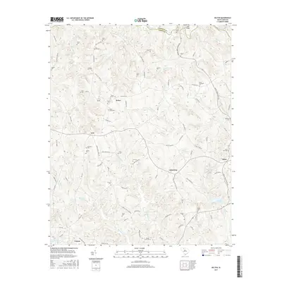
2017 Map of Kelton
USGS Topo · Published 2017About this map
Lake John D Long serves as a central landmark in this portion of South Carolina, where the terrain is defined by the winding course of the Pacolet River along the northern border. The landscape is a network of rural communities including Kelton, Kelly, Adamsburg, and Robat, connected by family-named roads like Mount Tabor Church Rd and Haney Cemetery Rd.
Find a feature on this map
104 named features on this map. Tap any name to fly to it.
Don’t see what you’re looking for? This feature index may not catch every label — zoom into the map to look around manually.
Map Details
Editions of this 2017 Kelton Map
This is the sole edition of this map. No revisions or reprints were ever made.
Other maps of this area

1907 · Sharon
USGS Topo · 1:62,500

1941 · Spartanburg
USGS Topo · 1:250,000

1953 · Spartanburg
USGS Topo · 1:250,000

1960 · Spartanburg
USGS Topo · 1:250,000

1963 · Spartanburg
USGS Topo · 1:250,000

1964 · Spartanburg
USGS Topo · 1:250,000
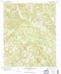
1968 · Wilkinsville
USGS Topo · 1:24,000
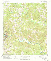
1969 · Pacolet Mills
USGS Topo · 1:24,000

1969 · Union West
USGS Topo · 1:24,000

1969 · Kelton
USGS Topo · 1:24,000