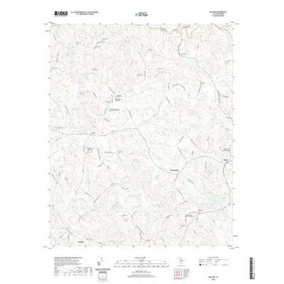
2020 Map of Kelton
USGS Topo · Published 2020About this map
Kelton and the surrounding rural communities of Union County are defined by a dense network of family cemeteries and historic church graveyards that reveal the deep lineage of this Upstate landscape. The terrain is carved by numerous watercourses, including Big Browns Creek and Little Browns Cr, which flow toward the northern boundary marked by the Pacolet River. Notable landmarks such as Skull Shoals near the Cherokee and Union county line provide focal points for local history.
Find a feature on this map
112 named features on this map. Tap any name to fly to it.
Don’t see what you’re looking for? This feature index may not catch every label — zoom into the map to look around manually.
Map Details
Editions of this 2020 Kelton Map
This is the sole edition of this map. No revisions or reprints were ever made.
Other maps of this area

1907 · Sharon
USGS Topo · 1:62,500

1941 · Spartanburg
USGS Topo · 1:250,000

1953 · Spartanburg
USGS Topo · 1:250,000

1960 · Spartanburg
USGS Topo · 1:250,000

1963 · Spartanburg
USGS Topo · 1:250,000

1964 · Spartanburg
USGS Topo · 1:250,000
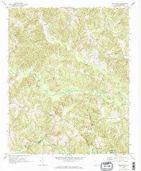
1968 · Wilkinsville
USGS Topo · 1:24,000
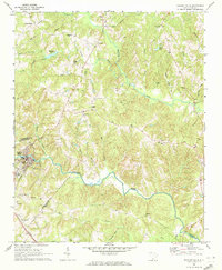
1969 · Pacolet Mills
USGS Topo · 1:24,000

1969 · Union West
USGS Topo · 1:24,000

1969 · Kelton
USGS Topo · 1:24,000