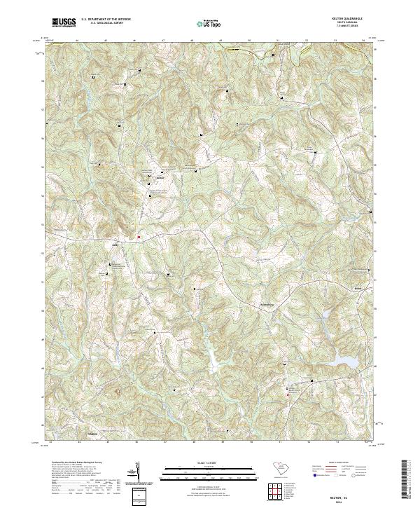
2024 Map of Kelton
USGS Topo · Published 2024About this map
The Pacolet River forms a natural boundary in the north, flowing past Skull Shoals as it marks the border between Union and Cherokee counties. This rural landscape is defined by its extensive collection of family burial grounds and country churches, which serve as the primary markers of community life. Settlements like Kelton, Kelly, and Adamsburg are linked by a network of local roads including Pea Ridge Hwy and Bailey Town Rd.
Find a feature on this map
108 named features on this map. Tap any name to fly to it.
Don’t see what you’re looking for? This feature index may not catch every label — zoom into the map to look around manually.
Map Details
Editions of this 2024 Kelton Map
This is the sole edition of this map. No revisions or reprints were ever made.
Other maps of this area

1907 · Sharon
USGS Topo · 1:62,500

1941 · Spartanburg
USGS Topo · 1:250,000

1953 · Spartanburg
USGS Topo · 1:250,000

1960 · Spartanburg
USGS Topo · 1:250,000

1963 · Spartanburg
USGS Topo · 1:250,000

1964 · Spartanburg
USGS Topo · 1:250,000
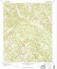
1968 · Wilkinsville
USGS Topo · 1:24,000
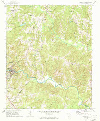
1969 · Pacolet Mills
USGS Topo · 1:24,000

1969 · Union West
USGS Topo · 1:24,000

1969 · Kelton
USGS Topo · 1:24,000