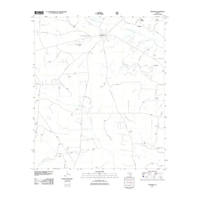
2011 Map of Kennard
USGS Topo · Published 2011About this map
Kennard serves as the central hub of this East Texas landscape, where a network of rural roads and forest service routes connects small communities and family landmarks. The settlement of Colthorp and the area near Allen Chapel sit in the northern reaches, while Fog Town is tucked away to the east. A high concentration of burial grounds, including the Kennard Community Cemetery, Antioch Cemetery, and Corinth Cemetery, provides significant data for genealogists tracing families in Houston County.
Find a feature on this map
50 named features on this map. Tap any name to fly to it.
Don’t see what you’re looking for? This feature index may not catch every label — zoom into the map to look around manually.
Map Details
Editions of this 2011 Kennard Map
This is the sole edition of this map. No revisions or reprints were ever made.
Other maps of this area

1950 · Crockett NE
USGS Topo · 1:24,000

1950 · Kennard NE
USGS Topo · 1:24,000

1950 · Ratcliff
USGS Topo · 1:24,000

1950 · Centralia
USGS Topo · 1:24,000

1951 · Kennard
USGS Topo · 1:24,000

1951 · Centralia
USGS Topo · 1:24,000

1951 · Berea
USGS Topo · 1:24,000

1951 · Crockett NE
USGS Topo · 1:24,000

1951 · Kennard NE
USGS Topo · 1:24,000

1951 · Ratcliff
USGS Topo · 1:24,000