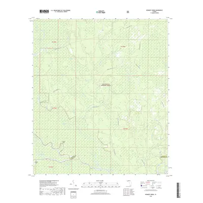
2018 Map of Kennedy Creek
USGS Topo · Published 2018About this map
The Apalachicola National Forest dominates this section of Liberty and Gulf counties, where a dense network of sloughs and creeks feeds the major waterways of the Florida panhandle. The confluence of the Apalachicola River and the Chipola River creates a labyrinthine wetland environment characterized by distinctive features like Battle Bend, Spiders Cut, and Bucks Bight. These hydrologic patterns reflect the complex drainage of the Gulf Coastal Plain, where low-lying areas like Hathcock Bay and Big Cypress Swamp transition into the slow-moving waters of the River Styx and Everett Slough.
Find a feature on this map
42 named features on this map. Tap any name to fly to it.
Don’t see what you’re looking for? This feature index may not catch every label — zoom into the map to look around manually.
Map Details
Editions of this 2018 Kennedy Creek Map
This is the sole edition of this map. No revisions or reprints were ever made.
Other maps of this area

1944 · White City
USGS Topo · 1:24,000

1944 · Forbes Island
USGS Topo · 1:24,000

1945 · Dead Lake
USGS Topo · 1:31,680

1945 · Forbes Island
USGS Topo · 1:31,680

1945 · Kennedy Creek
USGS Topo · 1:31,680

1945 · White City
USGS Topo · 1:31,680

1945 · Orange
USGS Topo · 1:31,680

1945 · Wewahitchka
USGS Topo · 1:31,680

1945 · Fort Gadsden
USGS Topo · 1:31,680

1946 · Sumatra
USGS Topo · 1:31,680