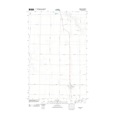
2013 Map of Kennedy
USGS Topo · Published 2013About this map
The Red River Valley town of Kennedy serves as the focal point of this 2013 survey, situated along the north-south artery of Us-75. The landscape reflects the highly organized section-line grid of Kittson County, where an extensive network of township roads like TWP HWY T-56 and TWP HWY T-83 supports the agricultural economy. Natural drainage is primarily provided by the meandering S Br Two Rivers in the northeast, contrasting with the straight-line precision of the surrounding transport routes. Local history is anchored by the Kennedy Cem and the Tree Claim Cem, while the northern portion of the map includes Hallock Municipal Airport. The settlement of Kennedy itself shows a concentrated street plan featuring Atlantic Ave and Kittson Ave, adjacent to the primary rail-parallel highway.
Find a feature on this map
41 named features on this map. Tap any name to fly to it.
Don’t see what you’re looking for? This feature index may not catch every label — zoom into the map to look around manually.
Map Details
Editions of this 2013 Kennedy Map
This is the sole edition of this map. No revisions or reprints were ever made.
Other maps of this area

1939 · Drayton
USGS Topo · 1:62,500

1939 · Pembina
USGS Topo · 1:62,500

1939 · Kennedy
USGS Topo · 1:62,500

1941 · Kennedy
USGS Topo · 1:62,500

1941 · Drayton
USGS Topo · 1:62,500

1941 · Hallock
USGS Topo · 1:62,500

1941 · Pembina
USGS Topo · 1:62,500

1952 · Thief River Falls
USGS Topo · 1:250,000

1956 · Thief River Falls
USGS Topo · 1:250,000

1957 · Thief River Falls
USGS Topo · 1:250,000