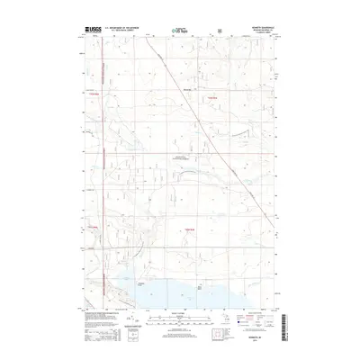
2014 Map of Kenneth
USGS Topo · Published 2014About this map
Hiawatha National Forest dominates this section of the Upper Peninsula, where the small settlement of Kenneth sits along State Hwy 123. The landscape is defined by an intricate network of waterways, including the Carp River and its various branches, which flow through the timberlands toward Lake Michigan. Significant landmarks such as Rock Rapids and the winding N Country National Scenic Trail illustrate the recreational and natural character of the region.
Find a feature on this map
27 named features on this map. Tap any name to fly to it.
Don’t see what you’re looking for? This feature index may not catch every label — zoom into the map to look around manually.
Map Details
Editions of this 2014 Kenneth Map
This is the sole edition of this map. No revisions or reprints were ever made.
Other maps of this area

1931 · Epoufette SE
USGS Topo · 1:31,680

1931 · Epoufette NE
USGS Topo · 1:31,680

1931 · Moran NE
USGS Topo · 1:31,680

1931 · Ozark SE
USGS Topo · 1:31,680

1948 · Moran NE
USGS Topo · 1:31,680

1948 · Moran NW
USGS Topo · 1:31,680

1954 · Sault Sainte Marie
USGS Topo · 1:250,000

1955 · Cheboygan
USGS Topo · 1:250,000

1956 · Sault Sainte Marie
USGS Topo · 1:250,000

1957 · Sault Sainte Marie
USGS Topo · 1:250,000