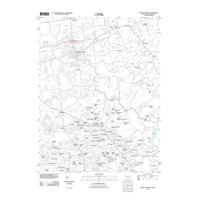
2011 Map of Kennett Square
USGS Topo · Published 2011About this map
Kennett Square serves as the focal point of this Pennsylvania and Delaware borderland, where the residential and commercial grid is framed by the Kennett Square Reservoir and several long-standing burial grounds including Union Hill Cemetery and Saint Patrick Cemetery. The landscape transitions from the developed borough into the rolling countryside of Chester County and New Castle County, defined by the expansive grounds of Longwood Gardens and the industrial-era path of the Wilmington & Western RR. Southward, the map details the suburban growth and community structure of Delaware, centered on the Hockessin Post Office and various neighborhood hills like Meeting House Hill and Quaker Hill. Water resources are a prominent feature of the local topography, with the East Branch Red Clay Creek and Hoopes Reservoir providing significant landmarks within this densely settled corridor between Philadelphia and Wilmington.
Find a feature on this map
353 named features on this map. Tap any name to fly to it.
Don’t see what you’re looking for? This feature index may not catch every label — zoom into the map to look around manually.
Map Details
Editions of this 2011 Kennett Square Map
This is the sole edition of this map. No revisions or reprints were ever made.
Other maps of this area

1898 · Elkton
USGS Topo · 1:62,500

1900 · Elkton
USGS Topo · 1:62,500

1901 · West Chester
USGS Topo · 1:62,500

1904 · West Chester
USGS Topo · 1:62,500

1904 · Coatesville
USGS Topo · 1:62,500

1904 · Wilmington
USGS Topo · 1:62,500

1906 · Coatesville
USGS Topo · 1:62,500

1906 · Wilmington
USGS Topo · 1:62,500

1917 · Elkton
USGS Topo · 1:62,500

1918 · Coatesville
USGS Topo · 1:62,500
Featured Places
- Hockessin, DE
- New Garden Township, PA
- Kennett Square, PA
- Willowdale, East Marlborough Township
- Pennsbury Township, PA