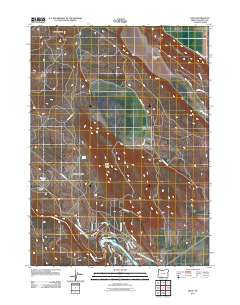
2011 Map of Keno
USGS Topo · Published 2011About this map
The Klamath River winds through the southern portion of this landscape, anchoring the settlement of Keno, where the Keno Post Office and Keno Bridge serve as local landmarks. The terrain transitions from the river valley toward the prominent Round Lake Hill and the elongated depression of Long Lake Valley in the northeast. This area illustrates a complex network of resource extraction and transit, evidenced by the presence of the Weyerhaeuser Timber Company Rd and numerous secondary routes like Freight Road Ln and Stagecoach Rd.
Find a feature on this map
37 named features on this map. Tap any name to fly to it.
Don’t see what you’re looking for? This feature index may not catch every label — zoom into the map to look around manually.
Map Details
Editions of this 2011 Keno Map
This is the sole edition of this map. No revisions or reprints were ever made.
Other maps of this area
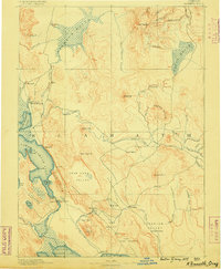
1889 · Klamath
USGS Topo · 1:250,000
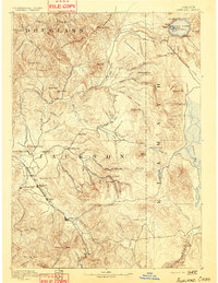
1891 · Ashland
USGS Topo · 1:250,000
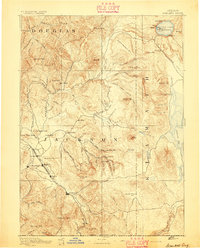
1893 · Ashland
USGS Topo · 1:250,000
1894 · Klamath
USGS Topo · 1:250,000
1897 · Ashland
USGS Topo · 1:250,000
1955 · Lake O' Woods
USGS Topo · 1:62,500
1955 · Surveyor Mtn
USGS Topo · 1:62,500
1955 · Klamath Falls
USGS Topo · 1:250,000

1955 · Medford
USGS Topo · 1:250,000
1957 · Medford
USGS Topo · 1:250,000