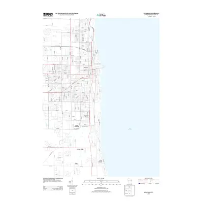
2013 Map of Kenosha
USGS Topo · Published 2013About this map
Lake Michigan borders a dense grid of residential and industrial development along the Wisconsin shoreline in the early 21st century. The landscape is defined by the transition from the structured urban layout near South Kenosha and Shorecrest Pointe to more open areas like Timber Ridge and Tobin further south. Waterways including the Pike River, Barnes Cr, and Jerome Cr cut through the street grid, influencing the placement of local infrastructure. Landmarks such as the Keno Family Drive-In and the Kenosha Water Works provide specific points of interest for those studying the social and utility history of the region. The map also records several local neighborhoods and developments, including Chicago and the lakeside community of Carol Beach, reflecting the continued growth and naming conventions of the lakeshore area.
Find a feature on this map
86 named features on this map. Tap any name to fly to it.
Don’t see what you’re looking for? This feature index may not catch every label — zoom into the map to look around manually.
Map Details
Editions of this 2013 Kenosha Map
This is the sole edition of this map. No revisions or reprints were ever made.
Other maps of this area

1892 · Racine
USGS Topo · 1:62,500

1905 · Racine
USGS Topo · 1:62,500

1906 · Waukegan
USGS Topo · 1:62,500

1908 · Waukegan
USGS Topo · 1:62,500
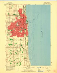
1958 · Kenosha
USGS Topo · 1:24,000
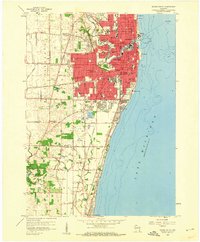
1958 · Racine South
USGS Topo · 1:24,000
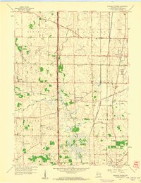
1958 · Pleasant Prairie
USGS Topo · 1:24,000

1958 · Racine
USGS Topo · 1:250,000
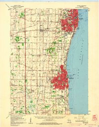
1959 · Racine
USGS Topo · 1:62,500
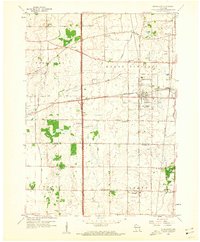
1959 · Sturtevant
USGS Topo · 1:24,000