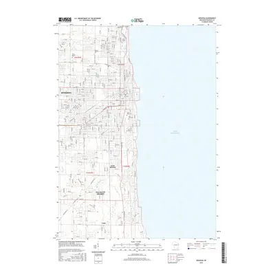
2016 Map of Kenosha
USGS Topo · Published 2016About this map
Lake Michigan forms the eastern edge of this coastal survey, where the urban grid of Kenosha transitions into the developing landscapes of Pleasant Prairie and Tobin. The map provides a detailed view of the city's institutional and commemorative geography, featuring prominent educational sites like Carthage Coll and Gateway Technical Coll alongside numerous historical burial grounds. These include Saint George Cem, Green Ridge Cem, and the B'nai Zedek Cem, reflecting the diverse community history of the region. Natural watercourses such as the Pike River and Barnes Cr cut through the residential blocks and open spaces, defining the local drainage as it flows toward the lake. The southern extent of the quadrangle shows the distinct settlement of South Kenosha, illustrating the suburban growth patterns of the mid-2010s in Kenosha County.
Find a feature on this map
89 named features on this map. Tap any name to fly to it.
Don’t see what you’re looking for? This feature index may not catch every label — zoom into the map to look around manually.
Map Details
Editions of this 2016 Kenosha Map
This is the sole edition of this map. No revisions or reprints were ever made.
Other maps of this area

1892 · Racine
USGS Topo · 1:62,500

1905 · Racine
USGS Topo · 1:62,500

1906 · Waukegan
USGS Topo · 1:62,500

1908 · Waukegan
USGS Topo · 1:62,500
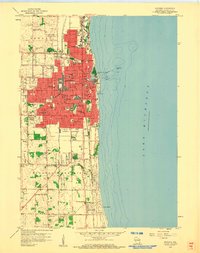
1958 · Kenosha
USGS Topo · 1:24,000
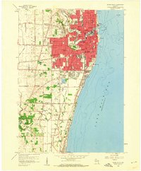
1958 · Racine South
USGS Topo · 1:24,000
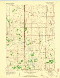
1958 · Pleasant Prairie
USGS Topo · 1:24,000

1958 · Racine
USGS Topo · 1:250,000
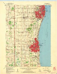
1959 · Racine
USGS Topo · 1:62,500
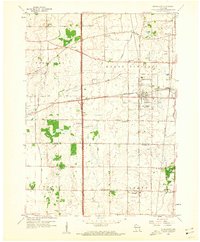
1959 · Sturtevant
USGS Topo · 1:24,000