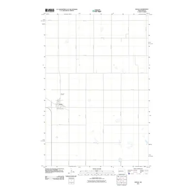
2011 Map of Kensal
USGS Topo · Published 2011About this map
Kensal serves as the central hub of this prairie landscape, where a precise grid of numbered avenues and streets organizes the surrounding agricultural terrain. The settlement is anchored by a cluster of named thoroughfares including Broadway, Dakota St, and Church St. Just north of the town center lies Saint Johns Cemetery, a key site for genealogical research in this part of Stutsman County. The map details a transition from the structured residential blocks of the village to the expansive rural sections defined by routes such as 83rd Ave SE and 11th St SE. Numerous small wetlands and depressions are scattered across the landscape, reflecting the glacial pothole geography characteristic of North Dakota's interior plains during the early 21st century.
Find a feature on this map
27 named features on this map. Tap any name to fly to it.
Don’t see what you’re looking for? This feature index may not catch every label — zoom into the map to look around manually.
Map Details
Editions of this 2011 Kensal Map
This is the sole edition of this map. No revisions or reprints were ever made.
Other maps of this area

1900 · Pingree
USGS Topo · 1:125,000

1900 · Pingree
USGS Topo · 1:62,500

1951 · Bordulac NE
USGS Topo · 1:24,000

1951 · Arrowwood Lake
USGS Topo · 1:24,000

1951 · Kensal
USGS Topo · 1:24,000

1951 · Kensal NW
USGS Topo · 1:24,000

1951 · Courtenay
USGS Topo · 1:24,000

1951 · Kensal SE
USGS Topo · 1:24,000

1951 · Glenfield
USGS Topo · 1:24,000

1952 · Jim Lake
USGS Topo · 1:24,000