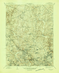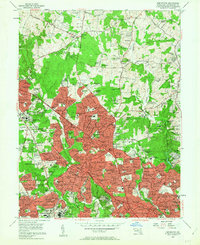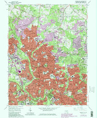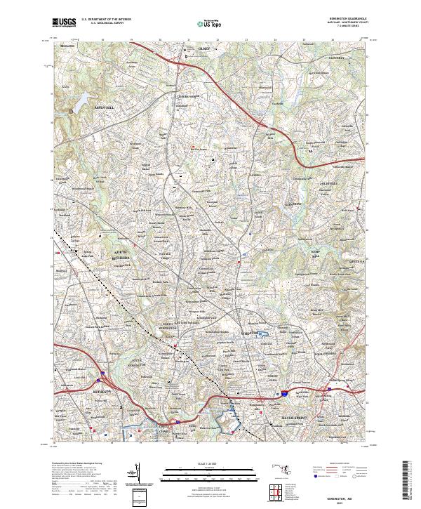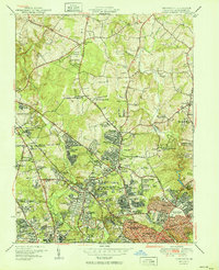
1951 Map of Kensington
USGS Topo · Published 1951About this map
Naval Medical Center and the National Institute anchor the southern edge of this mid-century Montgomery County landscape, marking the significant federal and medical presence in the suburbs north of the capital. The area exhibits a mix of established estates and emerging post-war residential developments, with neighborhoods like Glenmont Forest and Viers Mill Village filling the spaces between historic thoroughfares. The Baltimore and Ohio RR cuts a diagonal path through the terrain, serving transit-oriented communities such as Garrett Park and Kensington.
Find a feature on this map
108 named features on this map. Tap any name to fly to it.
Don’t see what you’re looking for? This feature index may not catch every label — zoom into the map to look around manually.
Map Details
Editions of this 1951 Kensington Map
2 editions found
Historical Maps of Montgomery Hills Through Time
5 maps found