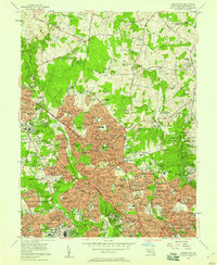
1956 Map of Kensington
USGS Topo · Published 1958About this map
Silver Spring and Kensington anchor this mid-century portrait of Montgomery County, Maryland, showing the suburban expansion pushing northward into areas like Wheaton and Norbeck. Major institutional corridors are well-defined by the National Naval Medical Center and the Army Medical Center, alongside established private campuses such as Georgetown Preparatory Sch and Holy Cross Academy. The transit network of the era is dominated by the Baltimore & Ohio RR and arterial roads like Georgia Ave and Connecticut Ave, which served as the primary conduits for new housing developments such as Drumeldra Hills and Quaint Acres. Historical land use is visible in the transition from the manicured Manor Country Club to the healthcare facilities at Waverly Sanitarium, reflecting the county's evolution from rural estates to a densely settled federal and residential hub.
Find a feature on this map
213 named features on this map. Tap any name to fly to it.
Don’t see what you’re looking for? This feature index may not catch every label — zoom into the map to look around manually.
Map Details
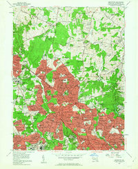
Editions of this 1956 Kensington Map
2 editions found
Other maps of this area

1890 · Mt. Vernon
USGS Topo · 1:125,000

1891 · Mt. Vernon
USGS Topo · 1:125,000

1892 · Laurel
USGS Topo · 1:62,500

1893 · Frederick
USGS Topo · 1:125,000

1894 · Laurel
USGS Topo · 1:62,500

1894 · Frederick
USGS Topo · 1:125,000

1894 · Mt. Vernon
USGS Topo · 1:125,000

1897 · Laurel
USGS Topo · 1:62,500

1897 · Mt. Vernon
USGS Topo · 1:125,000

1899 · Patuxent
USGS Topo · 1:125,000