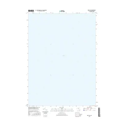
2016 Map of Kent OE N
USGS Topo · Published 2016About this map
Lake Ontario dominates the entirety of this coastal quadrangle off the shores of Carlton in Orleans County. This 2016 survey, produced by the U.S. Geological Survey, focuses exclusively on the open waters of the Great Lakes system. While the map contains no terrestrial settlements or landmarks, it serves as a precise bathymetric and hydrographic reference point for the maritime corridor just north of the New York shoreline. The vast expanse shown reflects the scale of the lake at this specific coordinates, providing a dedicated view of the aquatic environment as documented by the National Hydrography Dataset and National Elevation Dataset.
Find a feature on this map
1 named feature on this map. Tap any name to fly to it.
Don’t see what you’re looking for? This feature index may not catch every label — zoom into the map to look around manually.
Map Details
Editions of this 2016 Kent OE N Map
This is the sole edition of this map. No revisions or reprints were ever made.
Other maps of this area

1897 · Oak Orchard
USGS Topo · 1:62,500

1897 · Ridgeway
USGS Topo · 1:62,500

1944 · Ashwood
USGS Topo · 1:31,680

1949 · Kendall
USGS Topo · 1:62,500
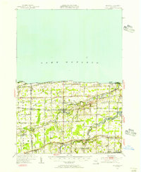
1950 · Ridgeway
USGS Topo · 1:62,500
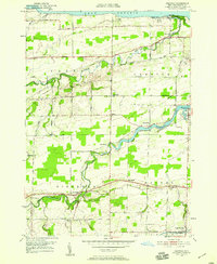
1950 · Ashwood
USGS Topo · 1:24,000
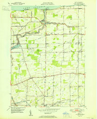
1951 · Kent
USGS Topo · 1:24,000
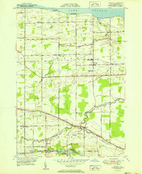
1951 · Kendall
USGS Topo · 1:24,000
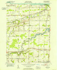
1952 · Ashwood
USGS Topo · 1:24,000
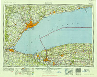
1952 · Toronto
USGS Topo · 1:250,000